Specially for VFR flying Netherlands.
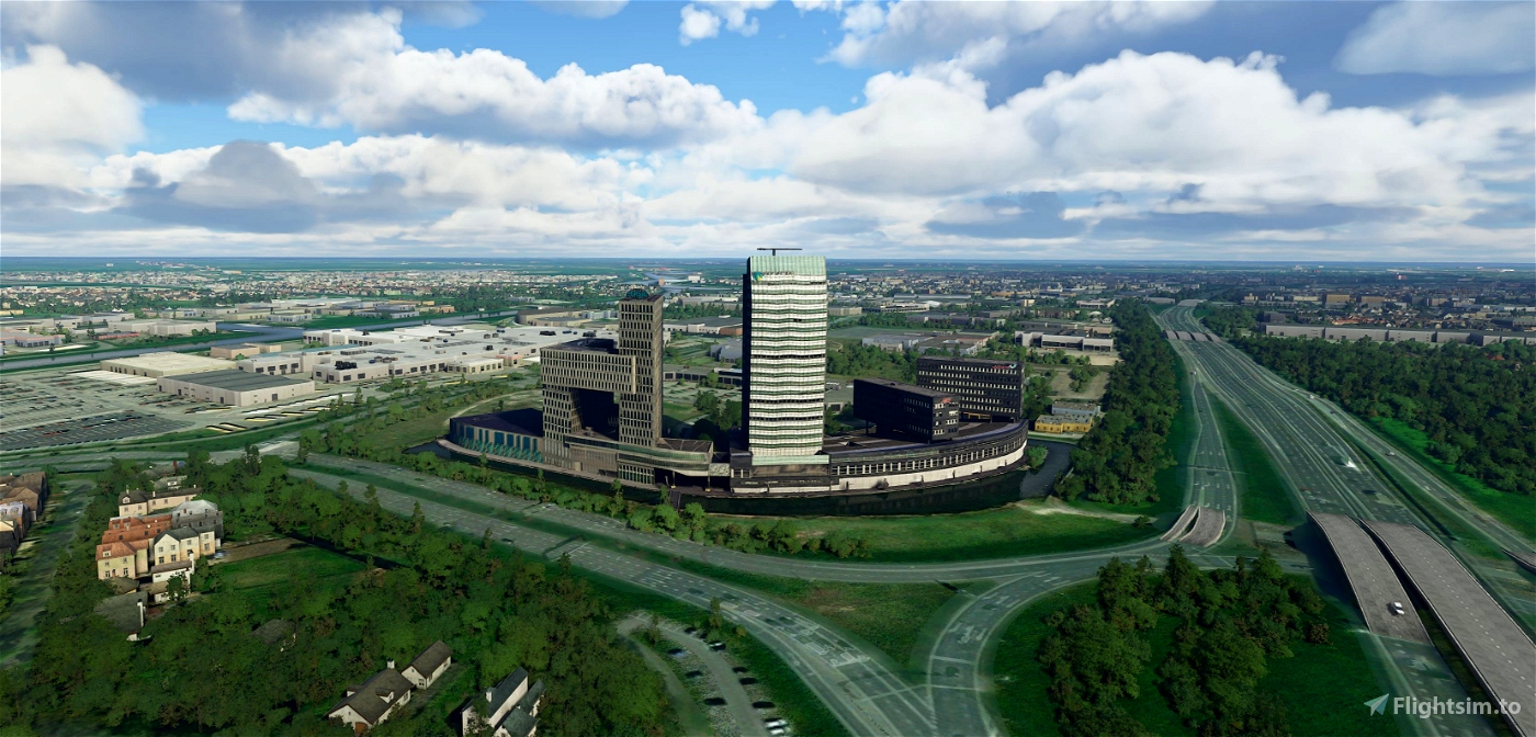
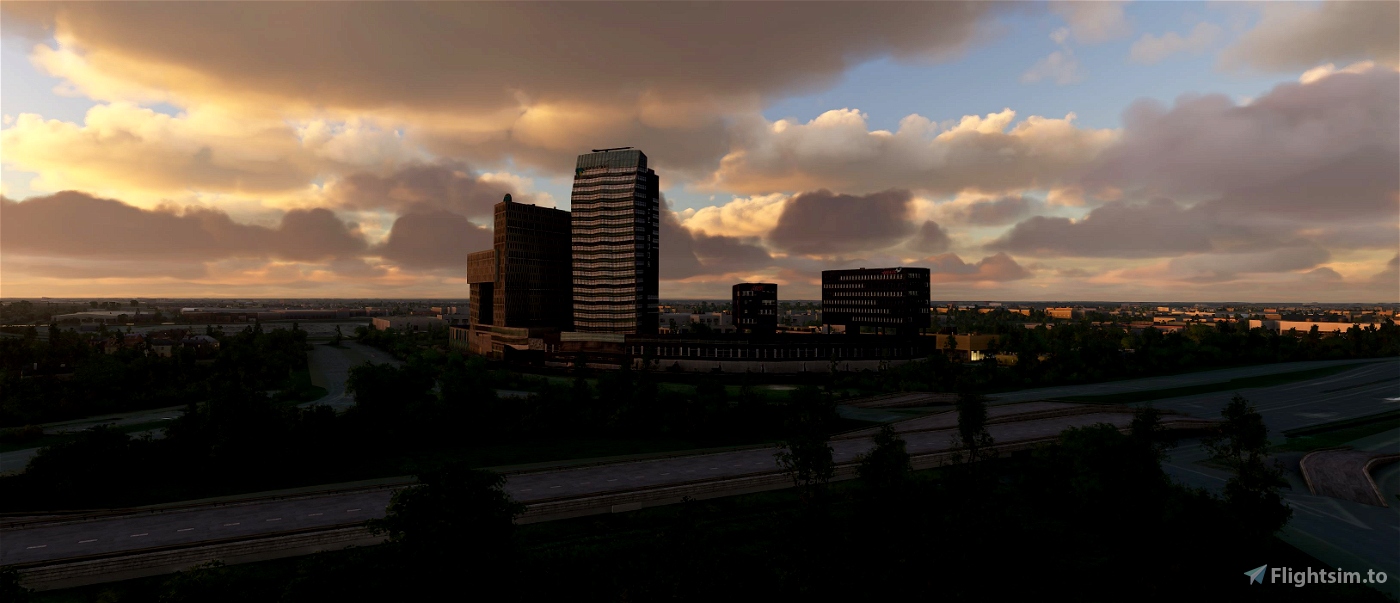
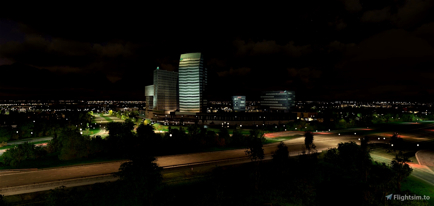
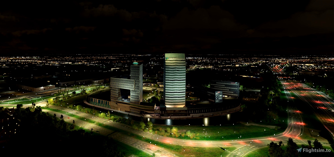
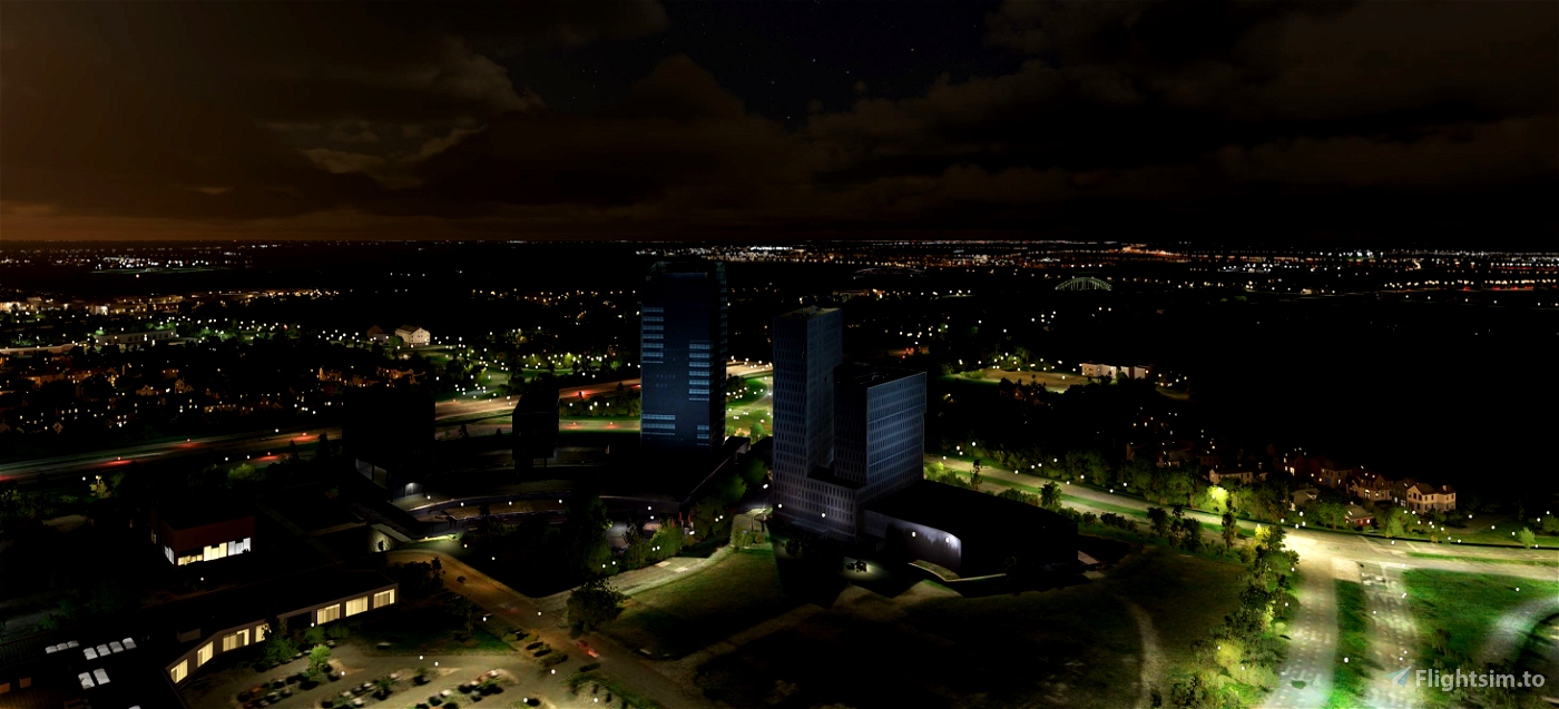
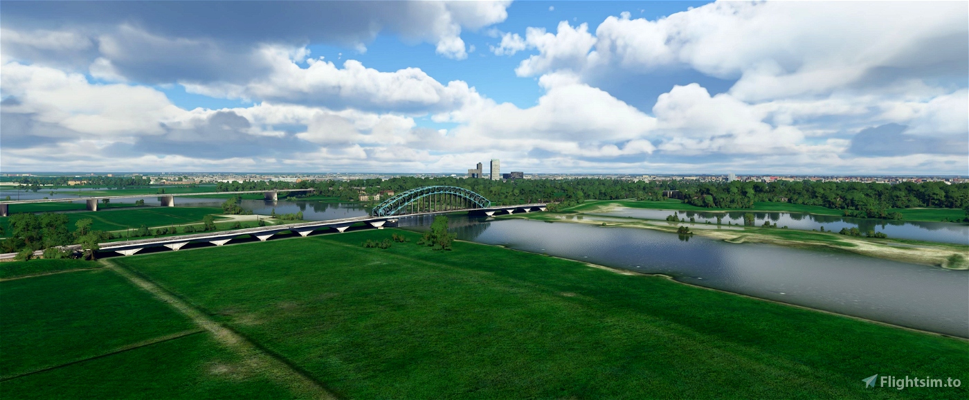
Zwolle Landmarks.
Message for those who lives in Zwolle; This tower (building) is a landmark and a must have for VFR flying, That's why It is now in the Sim.
My apologize for it, as I understand that people from Zwolle in real live, don't like this building at all.
IJsseltoren
The IJsseltoren is an office complex in Zwolle, built on behalf of ABN AMRO. It is used by various tenants. The tower is located in the Voorsterpoort office park on the north side of Zwolle near the A28 motorway.
Build
The IJsseltoren was completed in June 2006. It is approximately 96 meters high and consists of 23 floors. The complex comprises a so-called three-storey plinth with a 19-storey tower and two outbuildings of six and four storeys. The IJsseltoren is designed as a building in which various tenants share facilities such as catering and security. The building is a design by architect René Steevensz of PPKS Architects from Chicago.
The tower is the tallest building in Zwolle and the surrounding area and one of the tallest buildings in the north and east of the Netherlands. Only the Achmeatoren in Leeuwarden and the Alphatoren in Enschede are higher. In the urban silhouette, the tower is particularly image-defining from the south, but the high and voluminous building also stands out from the north.
(source Wikipedia)
-----------------------------------------------------------
File credits
This free creation contains content from Google Maps or Google Earth. In accordance with Google Terms of Services and especially point 2.2 of Google Maps/Google Earth Additional Terms of Service, this creation is based on « fair use » or « fair dealing » of the data provided by google throught its services. No commercial use or any gain is or will ever be made by the author of this creation, who doesn’t own anything regarding google assets but a simple user Licence. According to the following document https://www.google.com/intl/en-GB/permissions/geoguidelines/, the author is freely sharing a creative application of Google Maps or Google Earth. The author will not recieve any form of retribution for sharing his work, even general donations from users of file hosting web services under the form of « rewards » or « tips ». If this content would be found somewhere where it is provided in exchange of money or any kind of retribution, I wouldn’t be with the consent of the author who will stick to strict free content creation diffusion.
Part of this content including 3d data and textures is copyrighted by
Imagery ©2020 Google, Imagery ©2020 CNES/ Airbus, Maxar Technologies,
USDA Farm Service Agency, Map data ©2020 Google.

 Geraldar98


4 years ago
4 years ago
Geraldar98
jopidioot
4 years ago
4 years ago
Geraldar98
jopidioot
4 years ago
Flyingdutchie
4 years ago
4 years ago
Geraldar98
jonny2speeds