
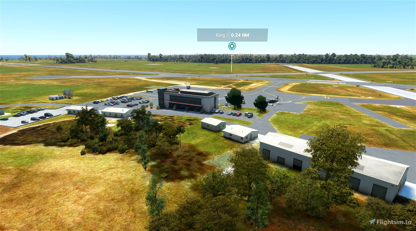
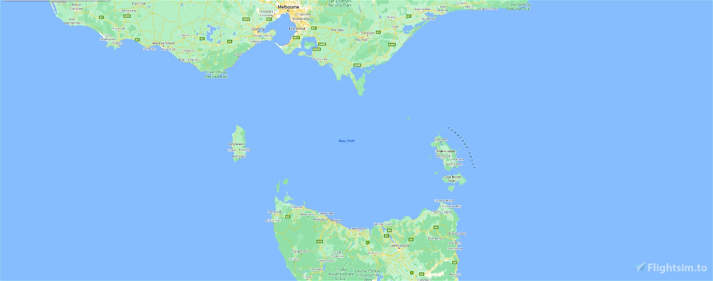
YKII King Island Airport is a small regional airport located near the town of Currie on King Island, off the north-west coast of Tasmania. The airport is owned and operated by the King Island Council.
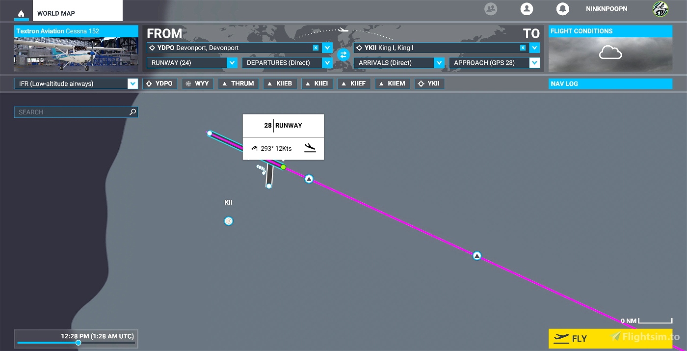
King Island itself is located in Bass Strait, almost due south of Cape Otway and is a stepping stone between the mainland and Tasmania, at the narrowest point of the Strait. There's a service running from Moorabbin (YMMB) to King Island (YKII).
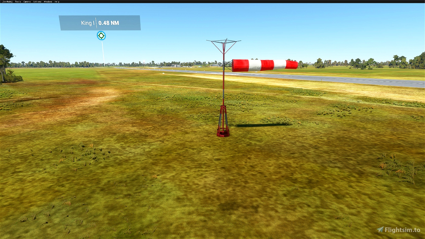
When flying this airport, set your weather to REAL and as close to the actual time as possible. Have a look at the windsock picture - I kid you not!! If you thought you can fly with a little wind - try here. 40 Knot W to NW are pretty normal here, after all this island is situated right in the middle of the 'Roaring Forties'
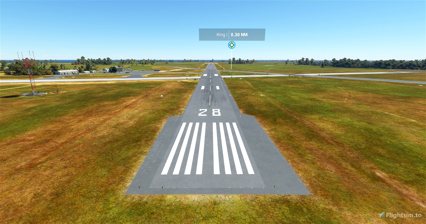
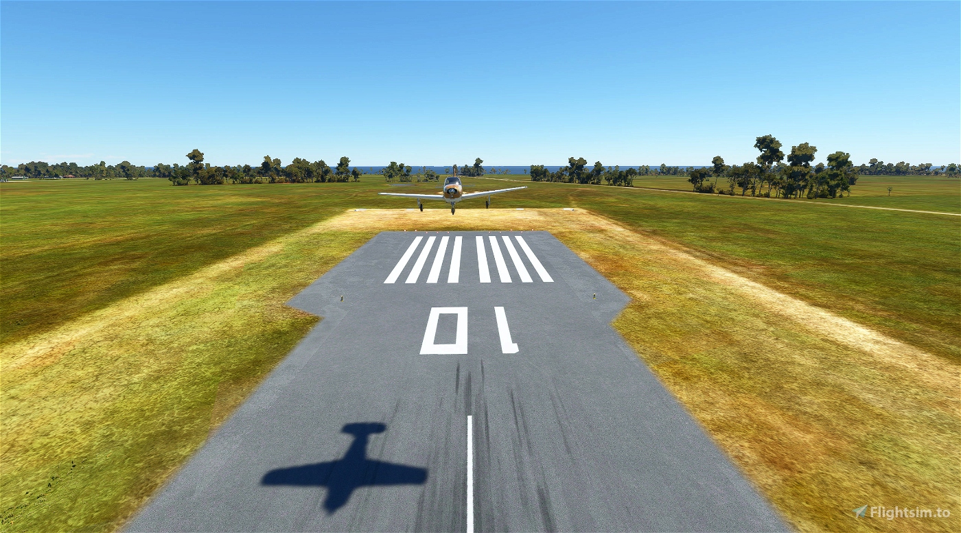
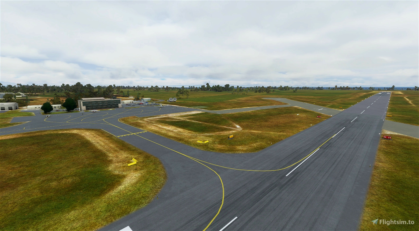
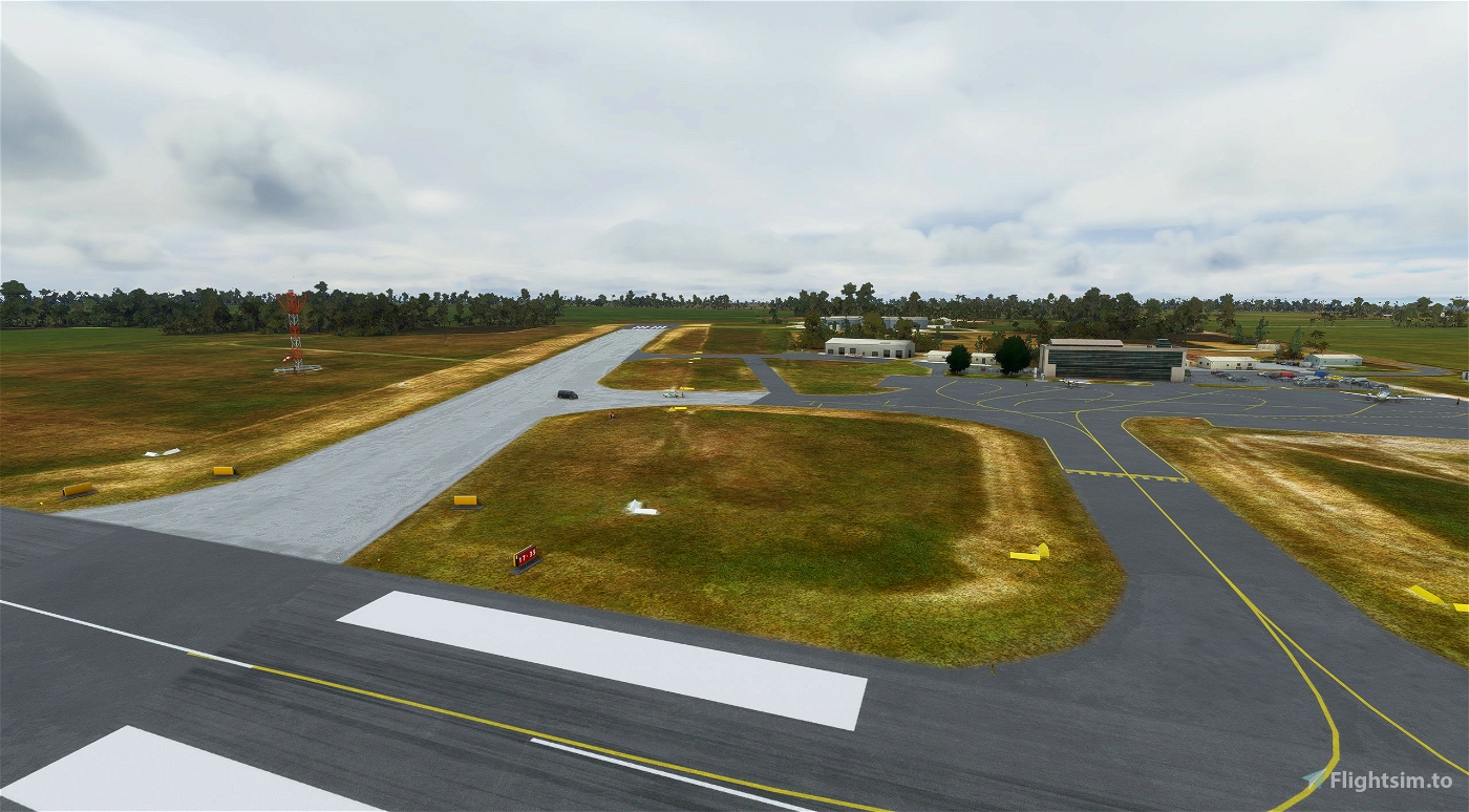
Runway 10 / 28 (main E / W)
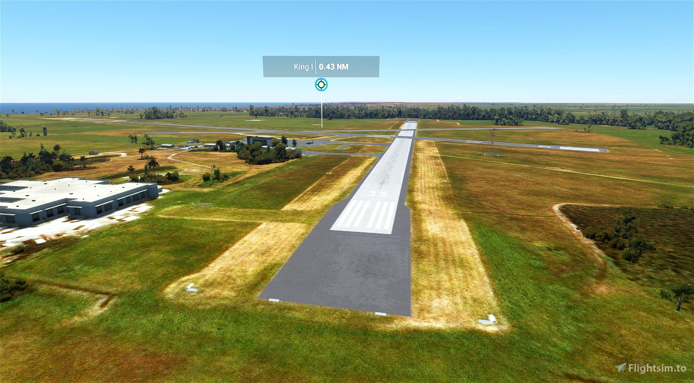
Runway 17 / 35
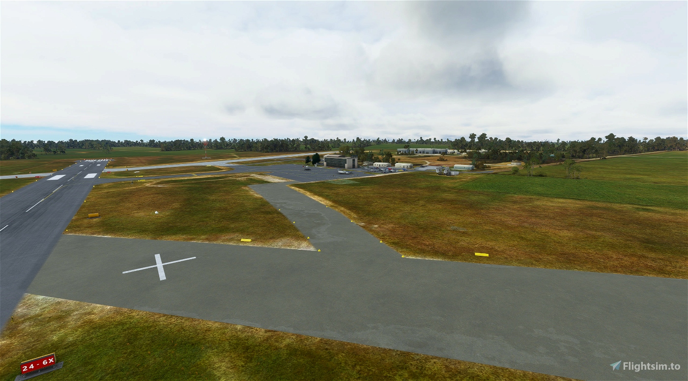
Runway 06 / 24 (Closed)
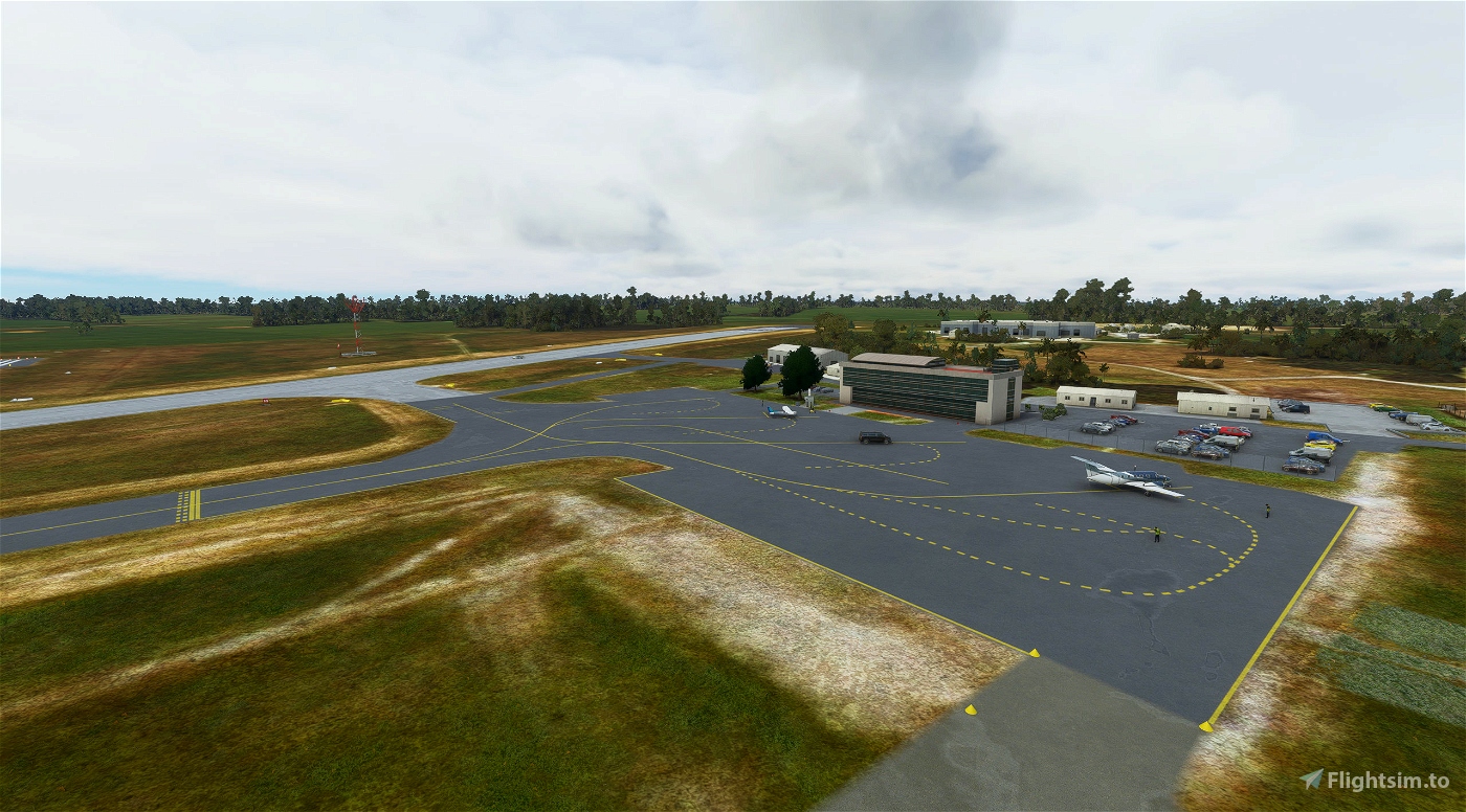
This airport does not have a tower and for lights only activation at night, 123.400 (Unsupported currently by Asobo)
CTAF is 126.850
Nearby Navigation Aids:
| ID | Name | Freq | Bearing / Range | ||
|---|---|---|---|---|---|
| KII | KING ISLAND | 332 | 181° | 0.7 | |
| WYY | WYNYARD | 302 | 117° | 107.4 | |
| LVT | LAVERTON VIC | 344 | 006° | 125.8 | |
| MB | MELBOURNE-MOORABIN | 398 | 014° | 127.3 |
<--- MODIFICATIONS --->
V1.2 - Defines runway 06/24 as closed more clearly - now general parking
- Modifications to tarmac lines and parking
V1.1 - Removes runway 06/24 (closed)
- Fixes taxiway signs for closed runway
- Fixes gabel colour for parking (yellow)
V1.0 - Initial release

 ironpot


Great flying Melbourne here, thx
2 years ago
Fury
3 years ago
3 years ago
ironpot
archaicpariah
3 years ago
3 years ago
ironpot
klebdotio