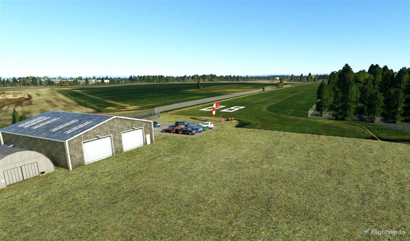


Hawksview Airstrip
Located on the edge of the disused RNAS Stretton just south of Warrington, it is a small, private airstrip mainly used for microlight operations.
Plase keep in mind that I have never made scenery for MSFS before, so this was very much a learning exercise, trying to get the hang of all the tools by recreateing my local airstrip. I added the runway numbers on purpose, they are not present IRL but make it easier to identify from the air.
The fictional ICAO code is X56 (MSFS requires one).
Might update this in the future to be more realistic, for now it just uses the generic hangar presets in the game.
To install, just extract and paste into your Community folder as usual.
Any feedback welcome!

It's about time we had a new (and clearly talented) developer that's interested in the 'bushstrips' of the North West. We've been ignored for too long ;p
7 months ago
7 months ago
aubergine5678
vfr150
Would be nice to see the other neighbouring Antrobus airstrips (Fairbank Farm, Crowley [53.336939, -2.524864] and, to it's immediate south, Arley Airstrip (Rangehead Farm?, Reedgate Lane), Arley [53.333463, -2.517199]) depicted and properly brought to life as useable strips to add some additional interest and challenges in the immediate vicinity of Hawksview Airstrip.
The Fairbank Farm Strip is shown here with a GA light twin adjacent to the runway... [https://www.ukairfieldguide.net/images/imgexec-14131.jpg]
The Arley (Reedgate Lane) Strip (2 runways) is shown here with a light aircraft on one of the runways...... [https://www.ukairfieldguide.net/images/imgexec-15960.jpg] if this helps!
PC Heli Pilot
7 months ago
7 months ago
aubergine5678
PCHeliPilot