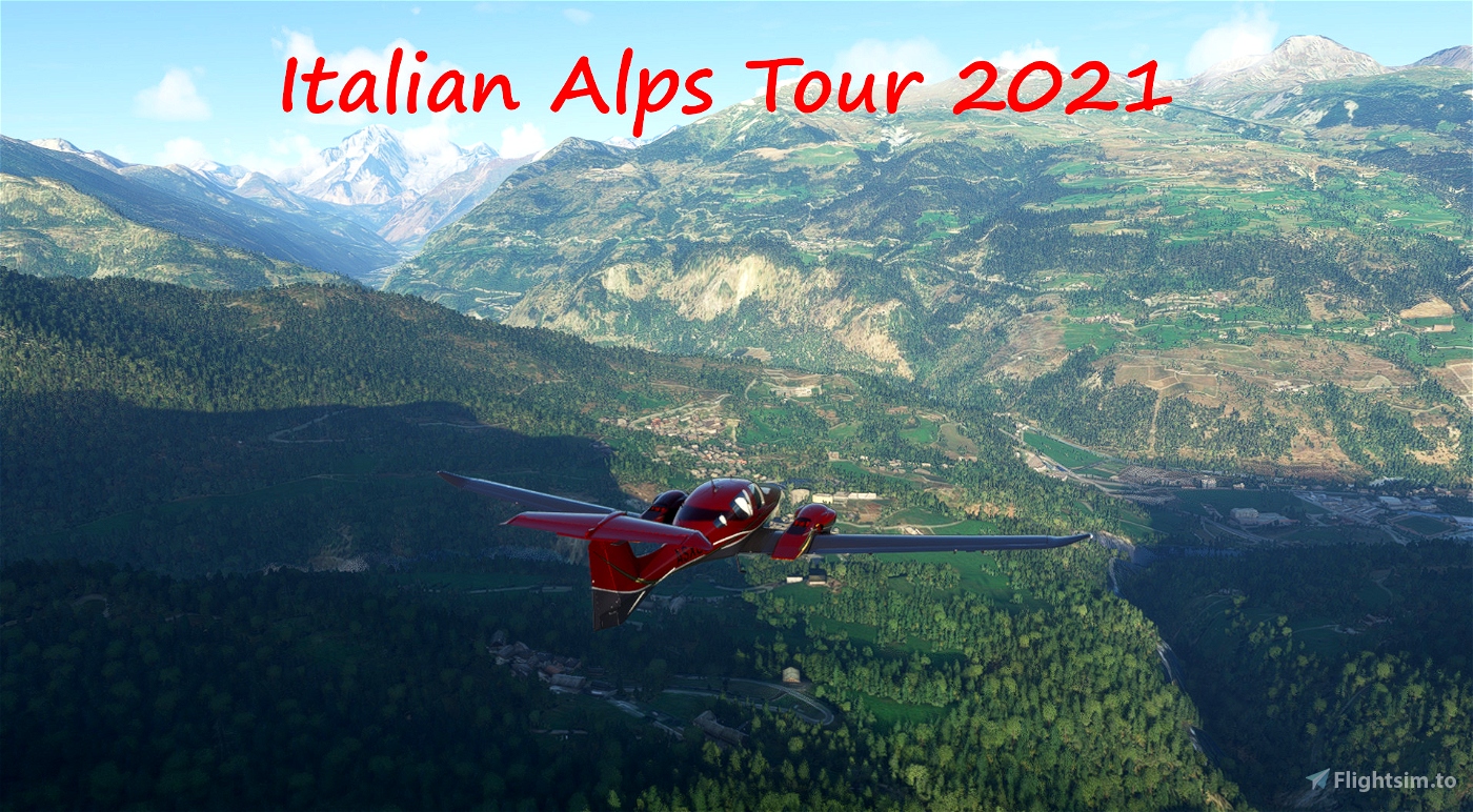


The Tour of the Alps is a naturalistic tour of the italian alps, through beautiful landscapes, discovering the most famous peak and valleys of “Bel paese” Introduction:
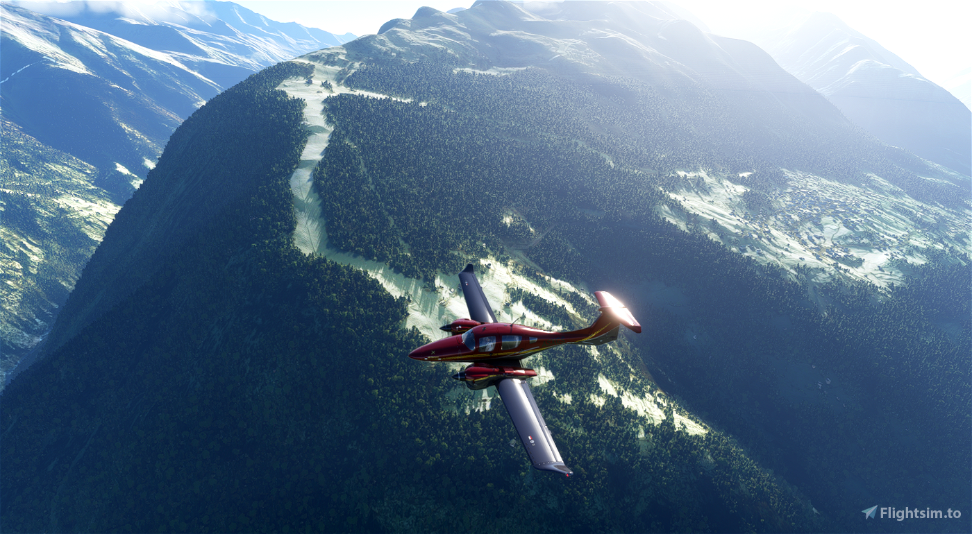
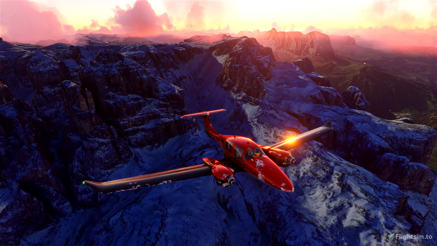
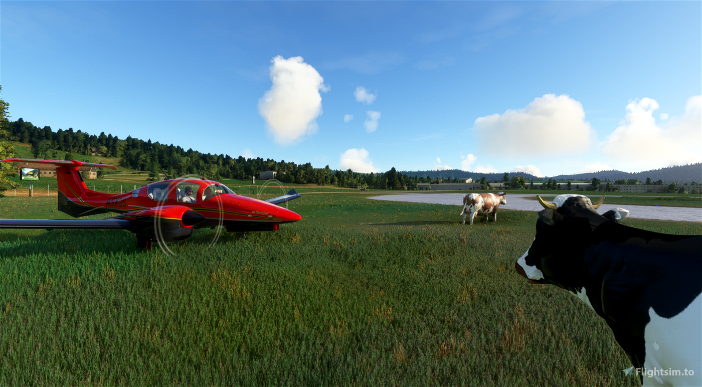
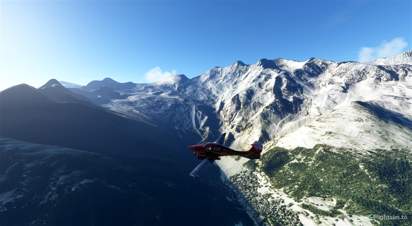
The tour is based on 16 legs from Albenga, overlooking the ligurian sea to Trieste on the northern part of Adriatic sea with little trepasses to France, Switzerland, Austria and Slovenia; a total of more than 1600 miles to fly with the Diamond DA62, an ideal aircraft because it is fast, easy to handle and with sufficient power to reach altitudes of over 10,000 feet.
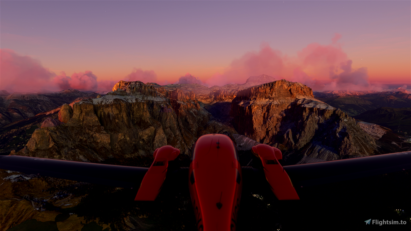
In the navigation logbook, you will find not only flight informations but also a lot of geographical, storical and cultural information of the overflying places: passes, glaciers, ski areas, lakes, rivers, some real happened events and also some trivias.
All POI's descriptions entered in the navigation log are read from the MSFS speech synthesis. For some POI's, explanatory photographs have also been included.
If you liked this tour, don't miss our new work, The Grand bush trip of Switzerland, avaiable here!!!
Version 1.3:
In version 1.3, in addition to solving the speech synthesis problems, two stages have been modified and important new features have been introduced. It will be necessary to turn off the aircraft to complete each leg and refuel the aircraft at the beginning of the next leg. More details in the changelogs. DON'T FORGET TO READ THE ATTACHED README FILE CAREFULLY.
Progress from previous versions cannot be transferred to this version: the new version is a new bush trip with different characteristics. But as the tour is always divided into 4 parts, you can complete the part you are playing and only install version 1.3 of the following parts.
Download & install:
To solve some issues that have been reported to me (the large number of POIs causes a FPS drop) I divided the tour into 4 packages. Each package is an indipendent bush trip; to complete the entire tour they must be completed one after the other.
To install the Mod you just have to copy and past the 4 i-a-t folders XXX in the “Community” folder of your MSFS.
In addition to the installation folders, the package contains:
- a PDF README file (leggi questo file per maggiori dettagli )
- the list of the legs in LNMPLN (Littlenavmap) format
- a PDF file with the Flight plans and the VFR reporting points (including enter/exit points of airports ATZ’s involved in the tour), to use in you fly on IVAO or VATSIM.
Here the list of the legs and main informations:
Part 1:
Leg 1: Albenga (LIMG) - Cuneo (LIMZ) - Ligurian and Maritime Alps, The Argentera
Leg 2: Cuneo (LIMZ) - Torino Aeritalia (LIMA) - The Cuneo’s valleys and The Monviso
Leg 3: Torino Aeritalia (LIMA) - Torino Caselle (LIMF) - The Susa valley and the main alpine passes between Italy and France.
Leg 4: Torino Caselle (LIMF) - Courchevel (LFLJ) - The Gran Paradiso
Part 2:
Leg 5: Courchevel (LFLJ) - Aosta (LIMW) - The Monte Bianco
Leg 6: Aosta (LIMW) - Biella (LILE) - The Cervino and Monte Rosa
Leg 7: Biella (LILE) - Locarno (LSZL) - Orta’s lake and Ossola valley
Leg 8: Locarno (LSZL) - Venegono (LILN) - Lake Maggiore
Part 3:
Leg 9: Venegono (LILN) - Samedam (LSZS) - Como’s lake and the Grigna mountains
Leg 10: Samedam (LSZS) - Passo del Tonale (LIQM) - Bernina, Valtellina, Adamello, the lakes of Iseo and Garda, Brenta Dolomites
Leg 11: Passo del Tonale (LIDT) - Innsbruck (LOWI) - Gavia and Stelvio passes, Ortles mountain group
Leg 12: Innsbruck (LOWI) - Bolzano (LIPB) - Three Peaks of Lavaredo, Cortina d’Ampezzo and Sella’s mountain group
Part 4:
Leg 13: Bolzano (LIPB) - Trento (LIDT) - The Marmolada
Leg 14: Trento (LIDT) - Asiago (LIDA) - First world war’s mountains
Leg 15: Asiago (LIDA) - Lienz (LOKL) - The Vajont and Belluno’s Dolomiti
Leg 16: Lienz (LOKL) - Trieste (LIPQ) - The Giulie Alps
THANKS TO:
First of all a special thanks to Matteo Stevenazzi for his friendship, patience and competence proven in helping me to plan and test the Tour. Without his help and his companionship I would never have come to an end.
Thanks to Alexander Barthel, creator of Littlenavmap.
This version was compiled with Bush Trip Injector:
Special thanks to its creator, BuffyGC, for her tremendous help in overcoming all problems.
Suggestions and feedback are welcome! And if you enjoyed the tour, please send me a donation.
There is a PDF version of the tour that can also be flown outside the Bush trip interface of MSFS: you can download it here (tks to moshechen for the job)


4 months ago
4 months ago
drforweb
Snacko
8 months ago
7 months ago
drforweb
DanielN1852
9 months ago
9 months ago
drforweb
Nsh2t
9 months ago
9 months ago
drforweb
Mvc90620
I did the 1st leg of part 1 but it didn't complete or save properly for some reason. I need to start this again by deleting the corresponding save file, but I can't find it. When I try to start the next leg, it's always at 33K feet and not from the airport. Can someone please advise where the save file is so I can delete it? Thanks.
1 years ago
Hi, try here:
C:\Users\yourname\AppData\Local\Packages\Microsoft.FlightSimulator_8wekyb3d8bbwe\LocalState\MISSIONS
1 years ago
drforweb
Markgixer6
I made the simplify Chinese edition config file.Visit http://github.com/GongShengyue/i-a-t-13-Chinese if you need.
2 years ago
gongshengyue
Guys, somehow my flight doesn't end, even with the aircraft all off. Is there anything i can do to set the first leg completed and go to the next one?
2 years ago
I give up. Tried the part 2 and happens the same issue. Probably a outstanding bush trip, but i have bad luck. That's it.
2 years ago
TiagoRios
TiagoRios
Hello and thank you for this amazing work !
I got the 2 garmin black screens and impossible to turn it on, i don't know why ?
Could you help me please ?
Bye
2 years ago
Thank you for your compliments.
Does this happen from the first leg? Do you have any specific MODs?
2 years ago
drforweb
lovsab
Hallo,
gibt es keine Möglichkeit die Wendepunkte in einer VFR Karte darzustellen, wie im MSFS?
Danke für eine Info.
Grüße
Bernd
Hi there, is there no way to display the turnpoints in a VFR map like in MSFS? Thanks for an info. Regards Bernd
2 years ago
Hello,
we are working on developing the next tour, I think it will remain as it is.
But you can use Littlenavmap and upload flight plans there.
A greeting
David
2 years ago
drforweb
Bernd_S
Thanks for making this fun ride, I only use your LNM flightplan because of my own aircraft. Enjoy it very much. Stay safe
3 years ago
Thanks, I'm glad you like it.
Get ready for the 2022 release
3 years ago
drforweb
docdutch
Ciao, nella seconda leg il piano di volo non è caricato nell'aereo
3 years ago
Non è così. Ho scaricato il file dal sito e avviato il SIM Courchevel: allego lo screen in cui si vede il piano di volo regolarmente caricato nel GPS (e il TTS appena dopo il decollo).
Forse devi aggiornare, se le hai, le MOD del DA62 e/o del Garmin.
https://ibb.co/LQ0rFjB
3 years ago
drforweb
Thedoc_tv
Grazie per la risposta.
3 years ago
3 years ago
drforweb
pino47
3 years ago
3 years ago
drforweb
roni2743
Good fun, Davide e Matteo
3 years ago
drforweb
3 years ago
3 years ago
drforweb
gwkoeln