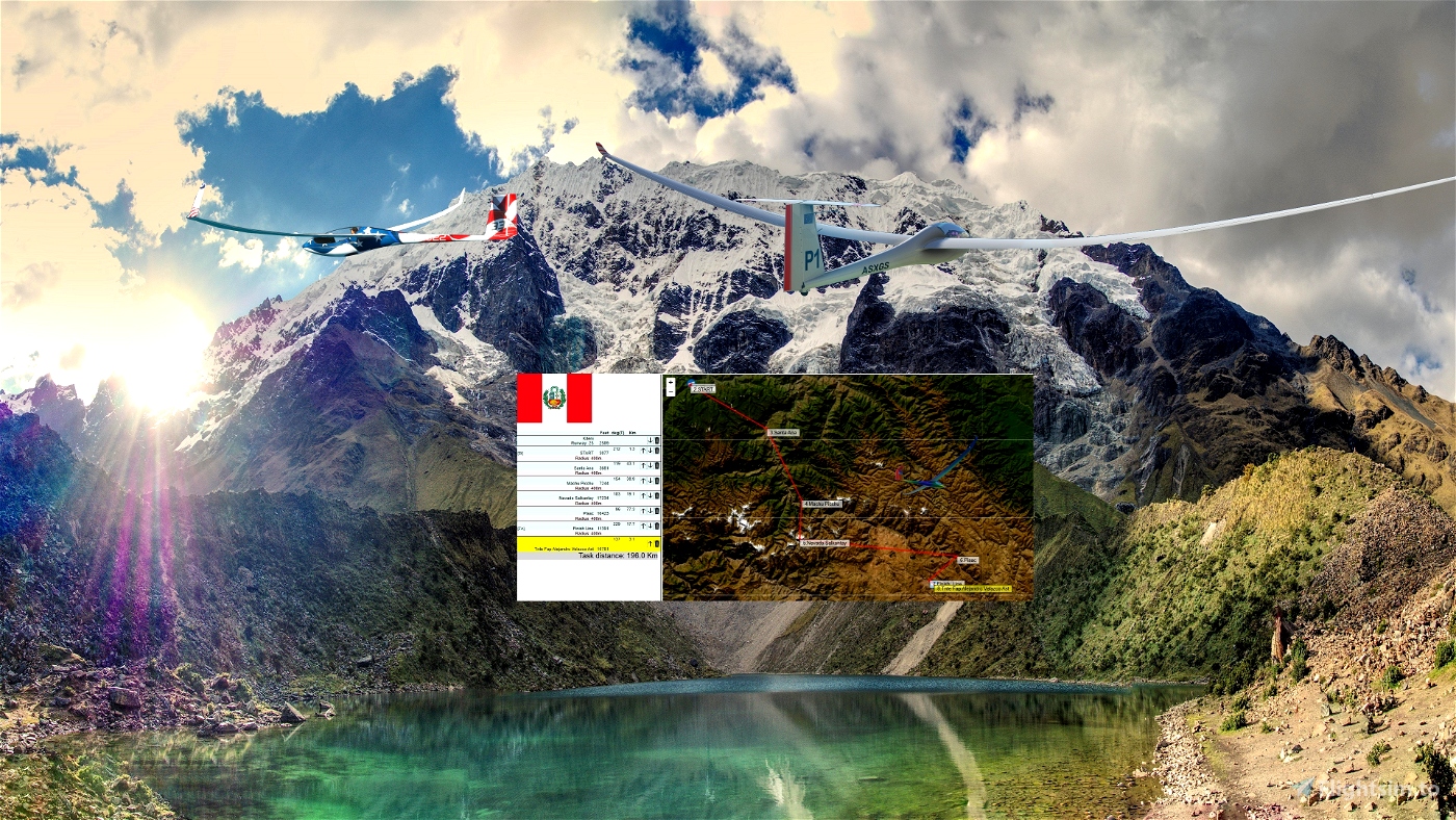
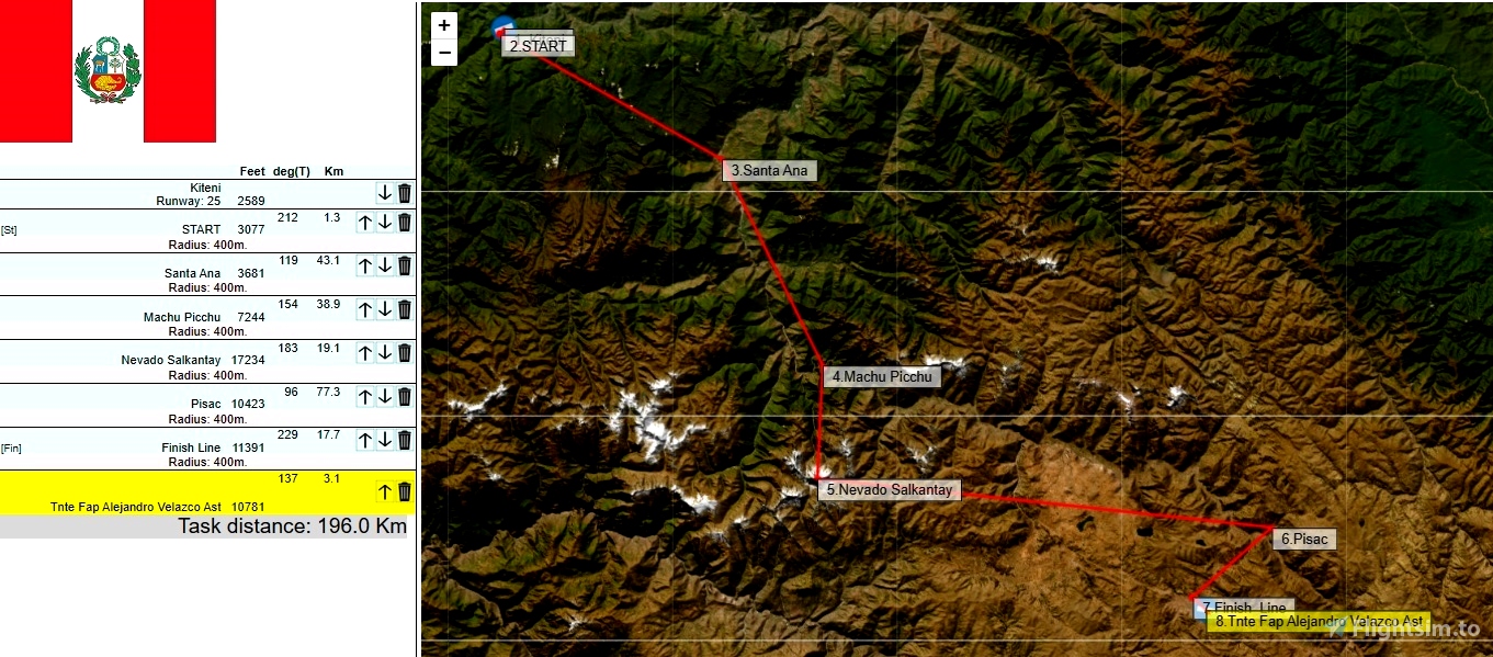
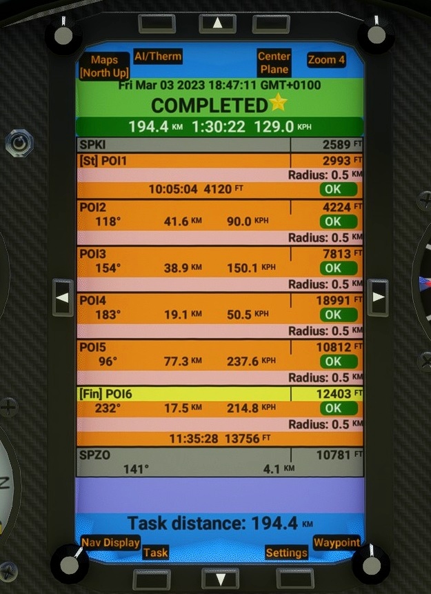
Distance:196 km.Duration:60 -120mn ..
Difficulty: Medium ..
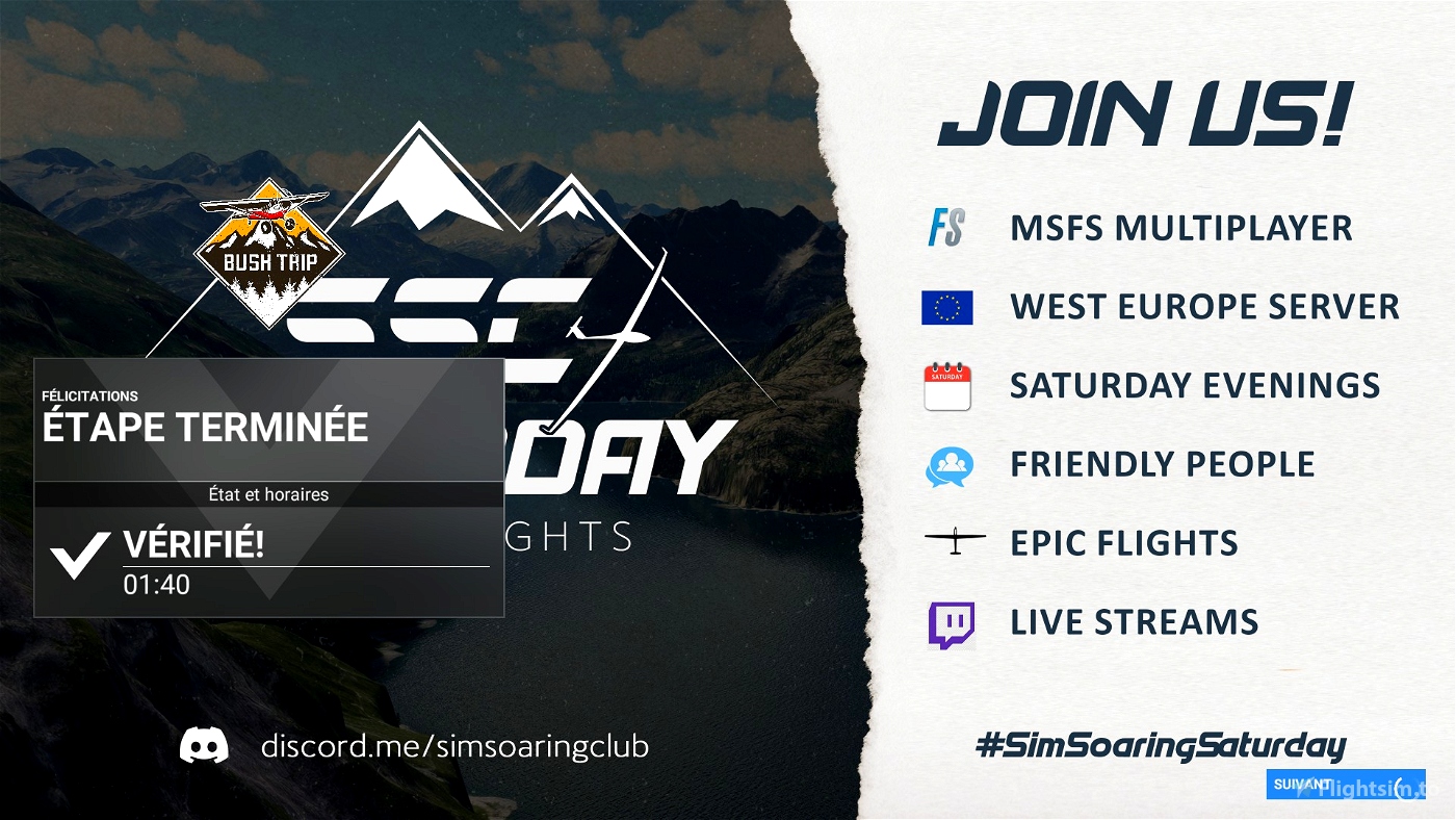
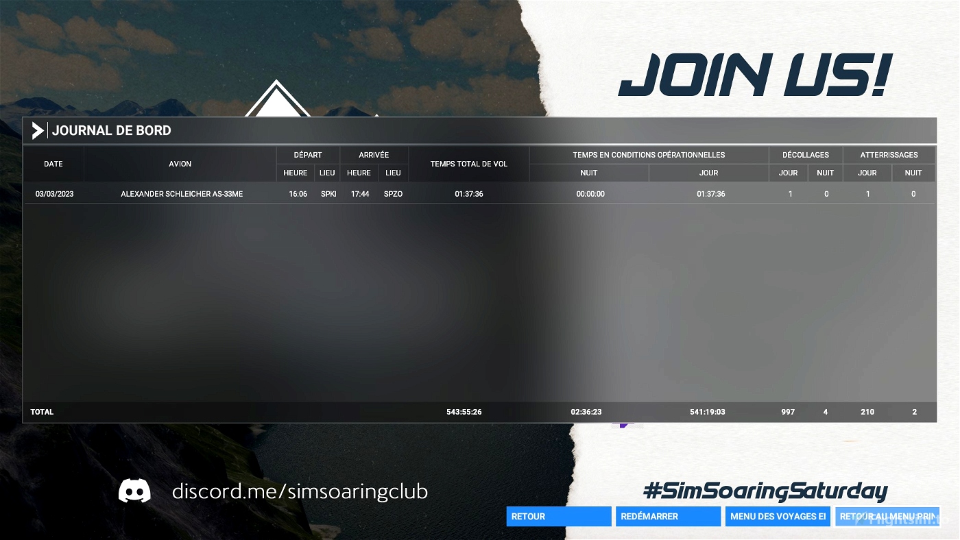
Departure: SPKI Kiteni
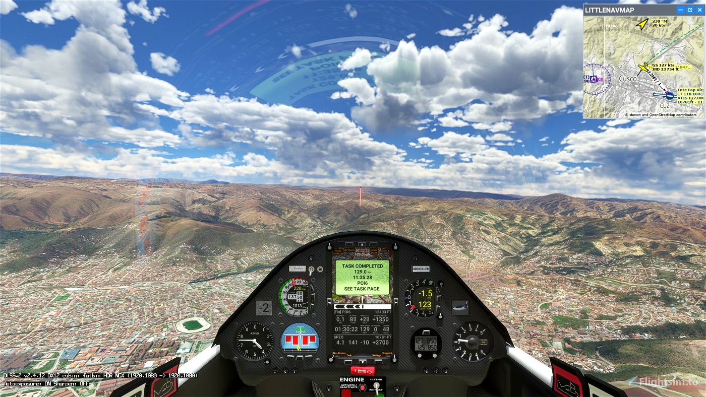
Arrival: SPZO Tnte Fap Alejandro Velazco Ast
Soaring Type: Ridge
Weather report:
Few clouds
15 kts wind from SW 220°
Notes:
Use the ridges north of the airport to gain altitude before the start.
----
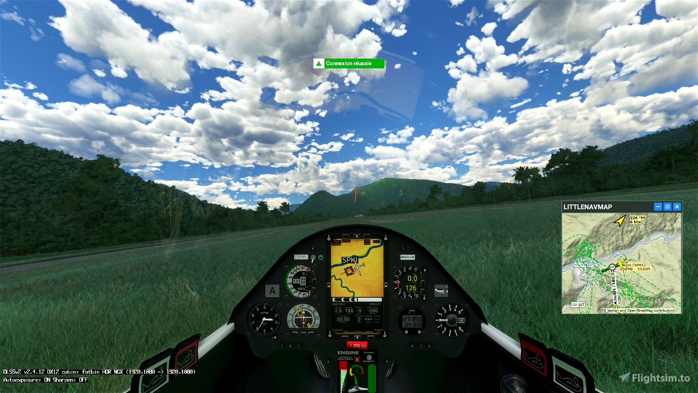
Use and look to GPS to validate all crossing points (notification when done).
Watch your GPS and wait for the map to finish loading.
Then adjust the GPS on the SPKI tab .
Use your catapult to take off or use your engine to take off.
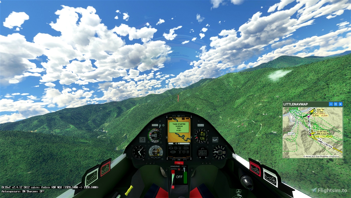
Pass over the aerodrome to valid SPKI
Make sure that you have validated the crossing point above the aerodrome.
4500 feet Maximum height to pass the POI1 start line.
Use the hill north of the airfield to gain altitude
----
Turn off your main battery after landing and wait to get the trip completed message.
---------------
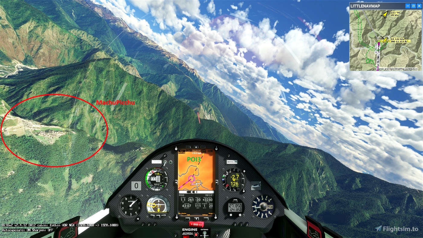
Machu Picchu pour Microsoft Flight Simulator | MSFS
MADoloSimulations
ASS33 me 1.91
https://fr.flightsim.to/file/15090/as-33-me
SCC Sim Soaring Club
https://discord.com/invite/8TaW8QjH
https://www.twitch.tv/videos/1534299342
https://www.youtube.com/GeorgOrtner
https://www.instagram.com/simsoaringclub/
https://albatross-racing.club/albatross_class/glider/
Concours ALBATROSS MSFS - Touching Cloud
https://discord.com/invite/8TaW8QjH

 ADCKillerman


Hi,
check this: https://flightsim.to/file/14281/machu-picchu
😉
1 years ago
thank you, I added the link in the description
1 years ago
ADCKillerman
MSFSItalia