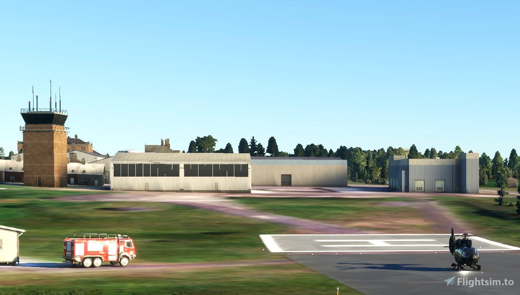
Finner Camp EIFR (Missing in MSFS)
Is a military barracks and airfield, built on a site known for its megalithic tombs, and was completed in 1890 for the British Army.
Following the Anglo-Irish Treaty the barracks were handed over to the forces of the Irish Free State in 1922. In the Second World War, it was close to the Donegal Corridor. In August 1969 there was false speculation in the media that Taoiseach Jack Lynch would use the barracks to launch an invasion of Northern Ireland with the aim of protecting the Catholic community there. The barracks are now the home of 28th Infantry Battalion, Irish Army.
Finner Camp has a short military runway and Heliport.
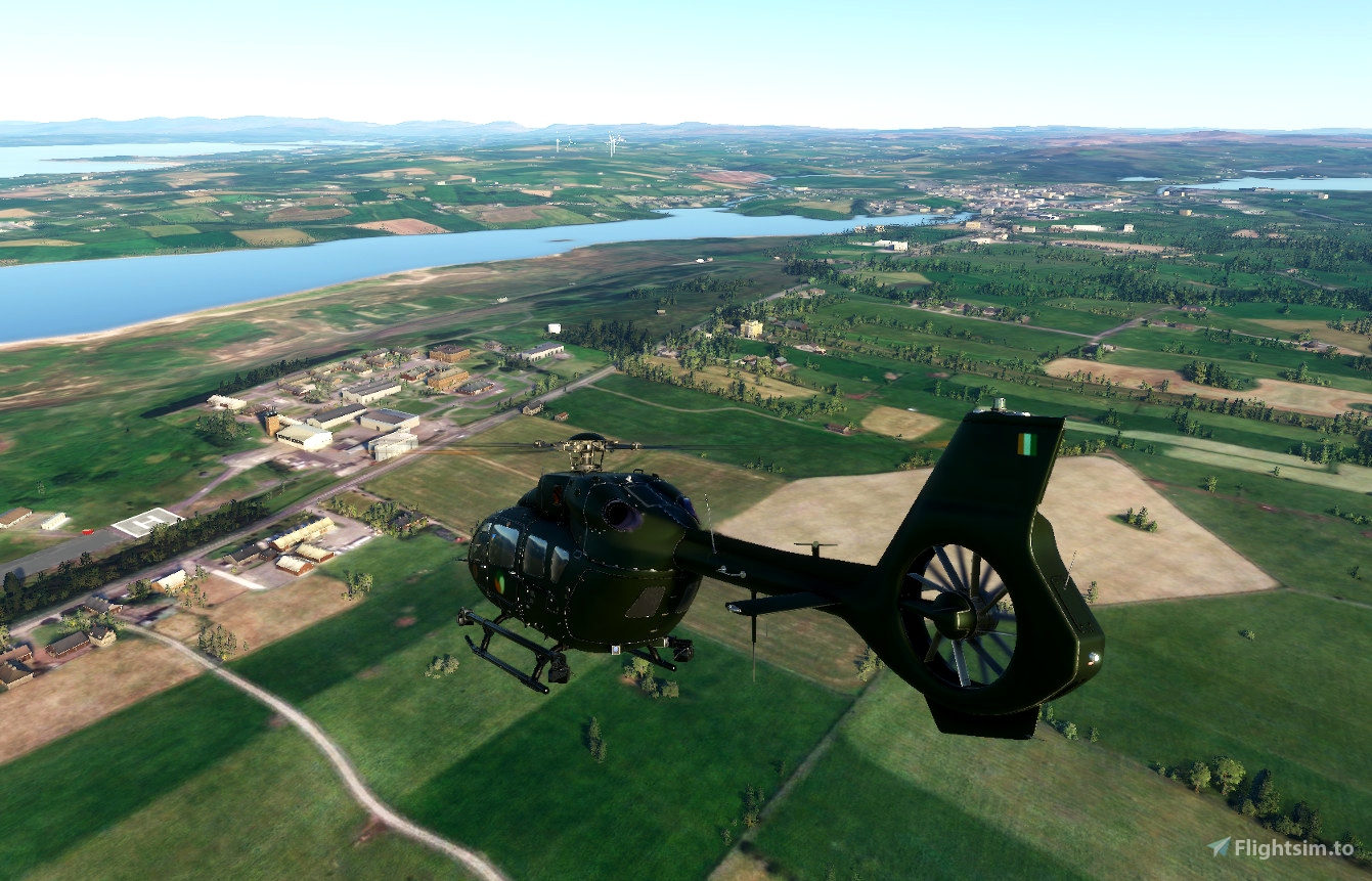
Finner Camp in Ulster, Ireland. The field elevation is 107 ft. The ICAO designator of this field is EIFR. Nearby other airfields are Sligo Airport, Enniskillen/St Angelo Airport, Drumavish Airstrip, Coulters Airstrip and Ruskey Airstrip.
Finner Camp Heliport does not publish a METAR, the nearest weather station is Sligo Airport, which is 33 km away. The flight information region (FIR) is Shannon ACC.
INSTALL:
Download, Unzip arx-arx-finner-camp.zip
Open arx-arx-finner-camp
Open PackagesContent
COPY & PASTE arx-arx-finner-camp folder to your community folder
PM me if you have any issues
enjoy!
