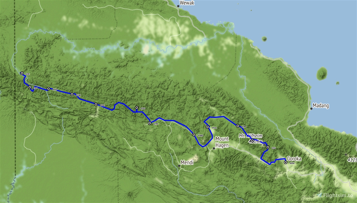
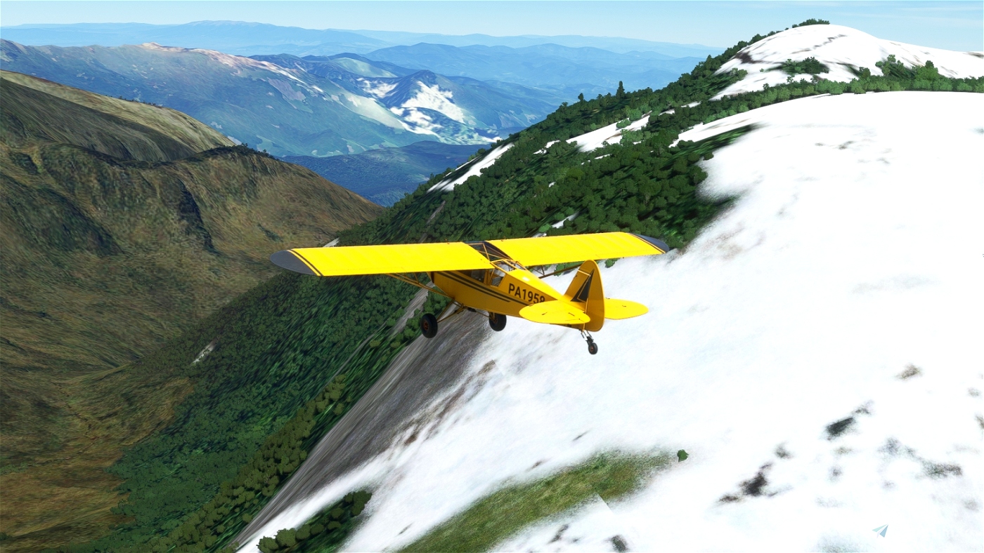
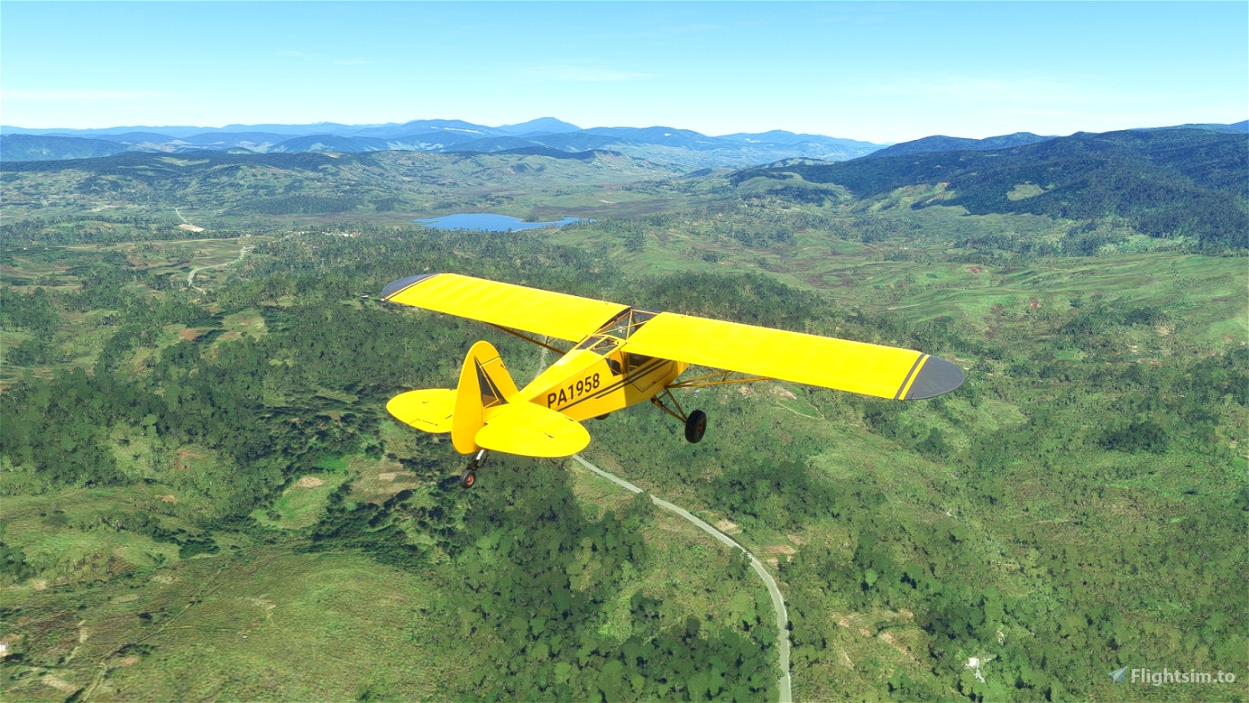
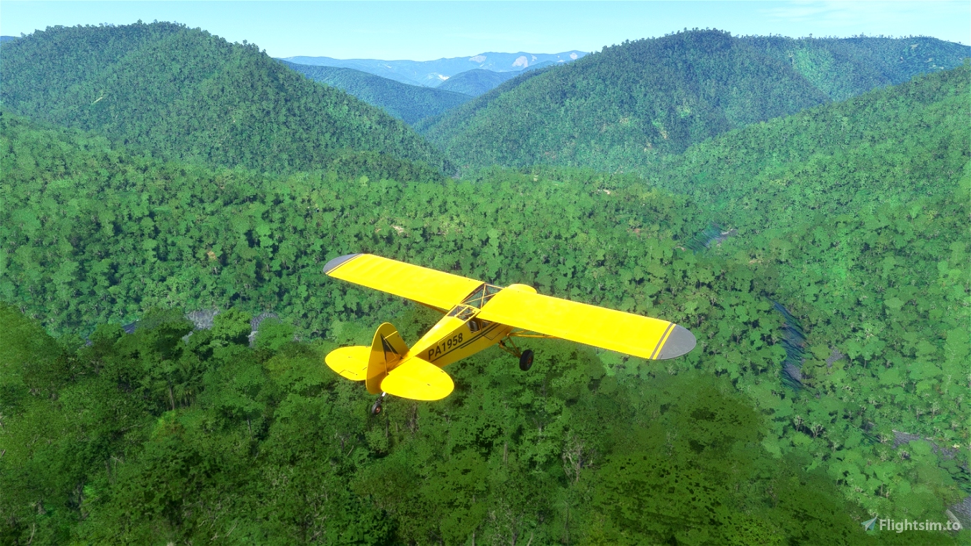
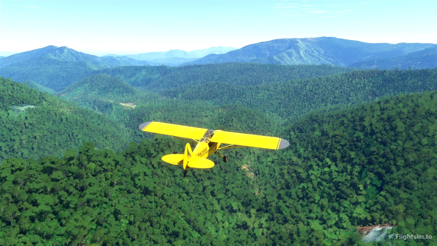
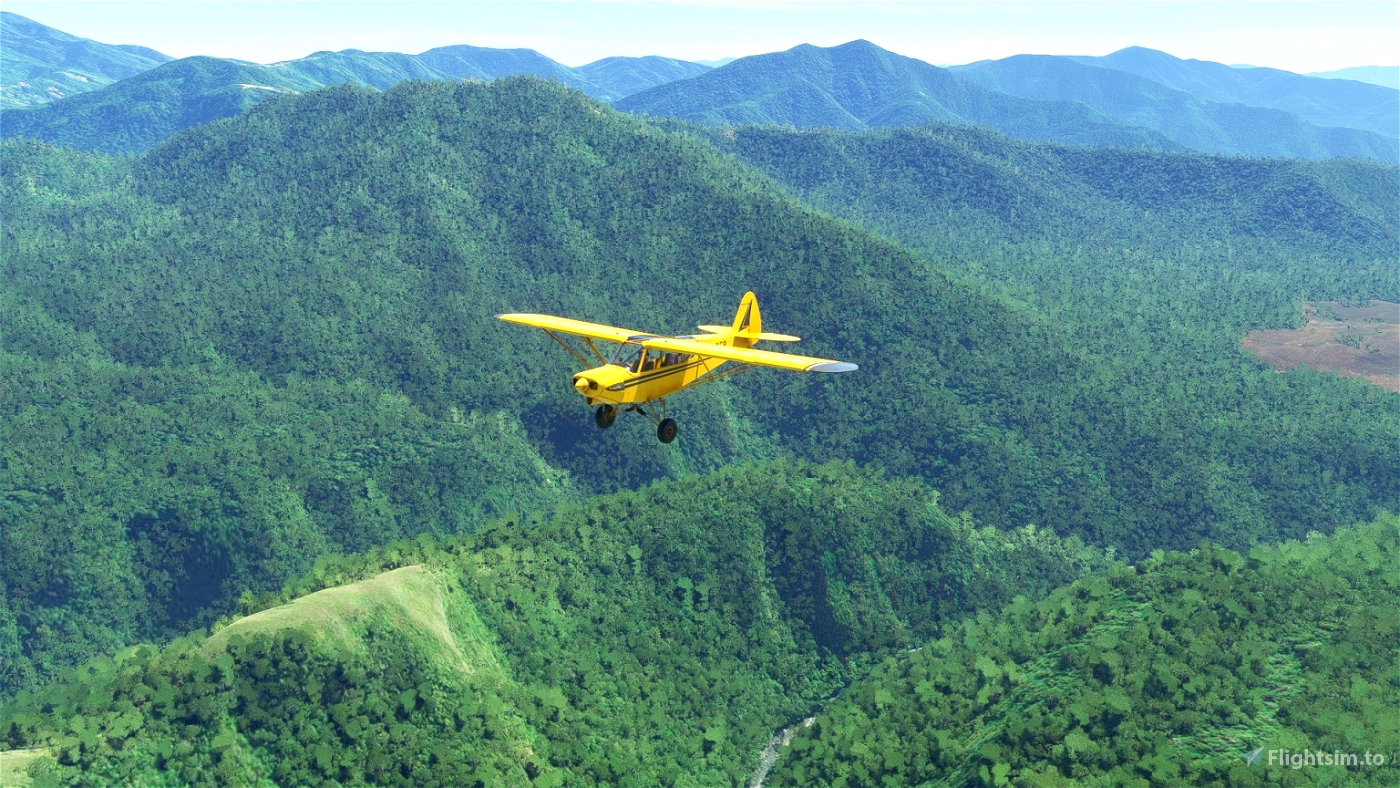
Papua New Guinea, the eastern part of the island of New Guinea, is the ideal place for a bush flight: no big cities, only small villages scattered in the mountains, few roads to guide you, only rivers and valleys, unsure airstrips, often sloping.
This flight will take you from Goroka to Yapsiei airport, in twelve legs.
The airstrips are generally sloping, so follow the instructions for safe landing.
It will take you about 6h30 to complete this flight.
You will fly on a Savage Cub which is not equipped with GPS; the navigation will sometimes be a bit challenging.
Fortunately, the weather is good: few high clouds and light wind.
For more comfort, you can load the flight plan in Little NavMap and refer to it if needed.
The flight plan in LNMPLN format is included in the download package.
You can also change your aircraft, for example to an XCub.
To do this, edit the file "Papua-BushTrip-Part1.FLT" and replace the line "Sim=Asobo Savage Cub" with "Sim=Asobo XCub".
You will have the GPS, but nevertheless I advise you not to activate the GPS tracking of the autopilot: the best path between two points is not necessarily a straight line.
The autonomy of the Savage Cub is not sufficient to complete this flight. You can refuel at Wapenamanda airport about halfway.
The MSFS AI tends to place large trees right at the threshold of the runways, which doesn't seem very realistic to me and complicates the landing.
Even if it is not mandatory, the mod "Papua New Guinea airstrip fixes" by Wantok corrects some airports by removing the large trees at the runway threshold.
Almost all MSFS languages are available. However only English and French are correct.
Other languages have been automatically translated and may contain errors.
Look also at the first part of this bush trip from Lese airport to Goroka : Papua Bush Trip Part1
This bush flight was created with the help of BushTripInjector by BuffyGC and Little NavMap by Alexander Barthel.
Thanks to them for these fantastic tools.
Version 1.1 :
The World update Antartic/Oceania has changed the ICAO code of some airports.
As some airports are no longer recognized by MSFS, it was not possible to complete some legs.
This update corrects the problem.
The Navlog text has also been revised to make it clearer.

Lorent8857
bartydog
I did Part 1 with no problems. But Part 2 will not let me complete the leg to AYKP!
I have flown it 6 times. Different aircraft and a couple of times with the Papua New Guinea airport addons. Still doesn't work.
sparky147
Not sure about Leg 8 . At WPT's 39 and 40 you talk about confluances and tributaries of other rivers. I didn't see any . Only 1 river as far as I could see ,on the MFD ,the VFR or out the window . until getting to AYXS
Maybe you have better eyes than me.
GlobeDiademe385 author
Frankly, the MSFS VFR map is so poor that many details are missing.
Between WP 38 and 39 there are two tributaries, a small one coming from the left and a bigger one coming from the right.
You can see them from the cockpit or, more easily, by using the external view (okay, that's cheating).
They are also visible in Little NavMap.
The WP 39 is indeed at a confluence, also visible in the same conditions.
Between WP 39 and 40 there is also a tributary coming from the right at an acute angle.
It is visible from the cockpit, but does not appear in Little NavMap ...
I have tested this flight with the Savage Cub; the visibility is perhaps better than in the cockpit of the XCub ...
2 years ago
sparky147
AYUQ is at 4070 feet not 1900
GlobeDiademe385 author
It is my mistake.
I confused the length of the runway with the altitude.
Sorry for that
2 years ago
sparky147
Starting to have fun again. Changed to the X-cub again , That 2nd leg was quite a feat. .English lesson for the day. When giving the elevations at the airports you can just say feet . No need to put the s at the end . feet is already plural