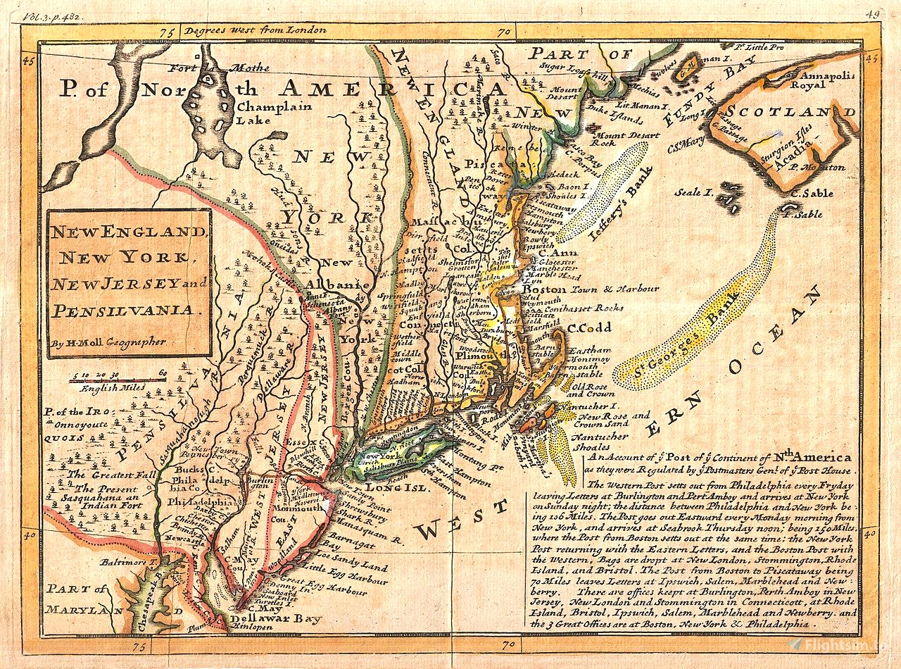
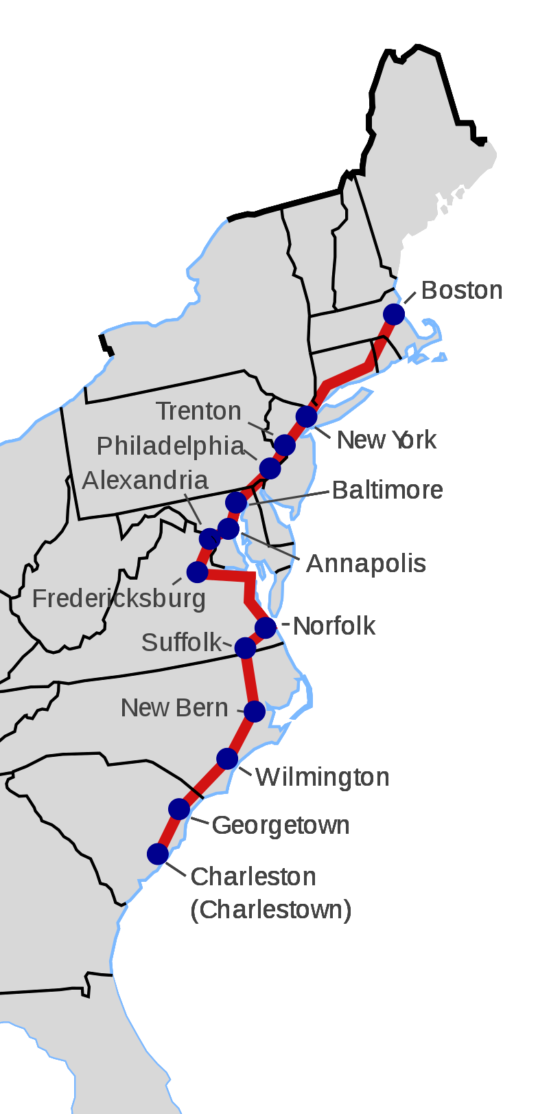
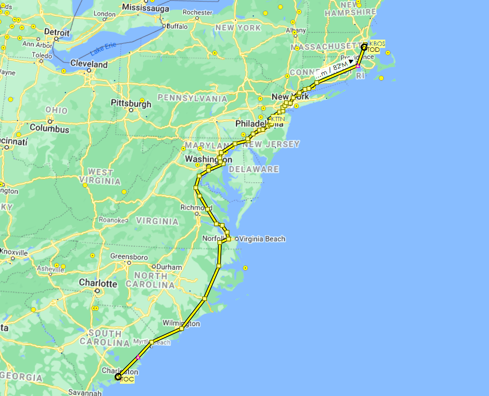
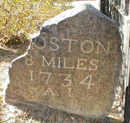
Following the route of the 1,300-mile/2,100-km King's Highway laid out from 1650 to 1735, on the order of Charles II, in the American colonies. It runs from Charleston, South Carolina, to Boston, Massachusetts. I've included the flight plan in .pln and .lnmpln formats. Just load the .pln from the World Map screen and you're good to go. If you want to follow along on Little Navmap, the other file is for you too.
(I've also made the northern extension of the King's Highway, which runs from Boston to Machias, Maine. It can be found here.)
The route travels through eleven states: South Carolina, North Carolina, Virginia, Maryland, Delaware, Pennsylvania, New Jersey, New York, Connecticut, Rhode Island and Massachusetts. Nine of the cities flown over are of photogrammetry status.
The departing airport is Charleston Executive (KJZI), with arrival 876 nautical miles later at Boston's Logan International (KBOS). You'll likely want to find airports along the route periodically to break up the journey since it will take just over 7 hours in one go.
The route (with asterisks denoting cities with photogrammetry):

 newtestleper


3 years ago
3 years ago
newtestleper
C0SM0S