


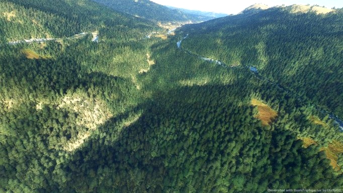
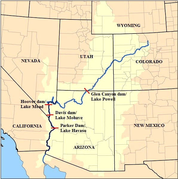
At 10300 ft (3100 km) high in the Rocky Mountains the Colorado River has its source. Some nautical miles north of Grand Lake in the environment of La Poudre Pas.
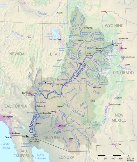
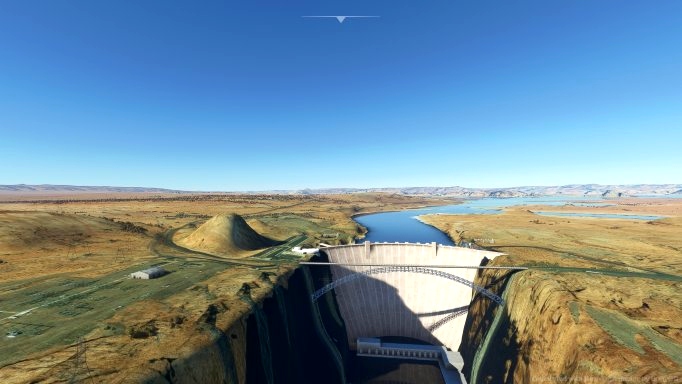
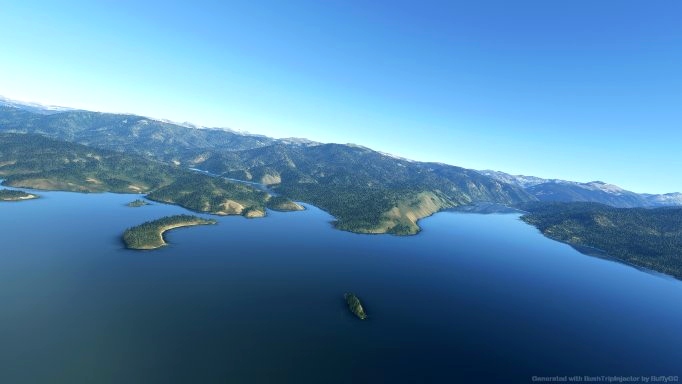
The Colorado River (Spanish: Río Colorado) is one of the principal rivers (along with the Rio Grande) in the Southwestern United States and northern Mexico. The 1,450-mile-long (2,330 km) river drains an expansive, arid watershed that encompasses parts of seven U.S. states and two Mexican states. Starting in the central Rocky Mountains of Colorado in Grand Lake, Colorado, the river flows generally southwest across the Colorado Plateau and through the Grand Canyon before reaching Lake Mead on the Arizona–Nevada border, where it turns south toward the international border. After entering Mexico, the Colorado approaches the mostly dry Colorado River Delta at the tip of the Gulf of California between Baja California and Sonora.
Normally people follow a river downstream. For this bush trip you start at the Gulf of California and fly upstream to find the source of the river north of Grand Lake in the Rocky Mountains. You fly in Colorado, Arizona, Utah, California and Nevada in the United States, but you start in Mexico where you fly between the Baja California and Sonora.
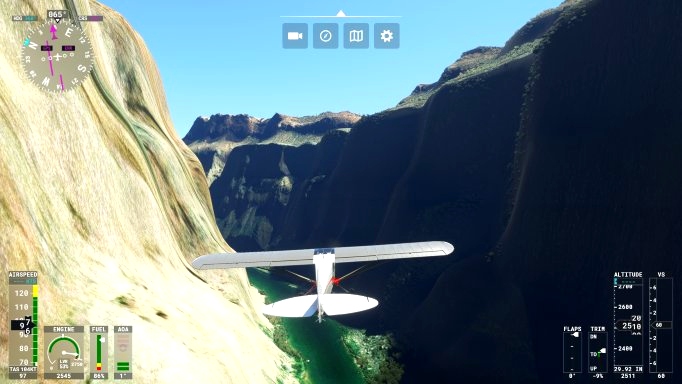
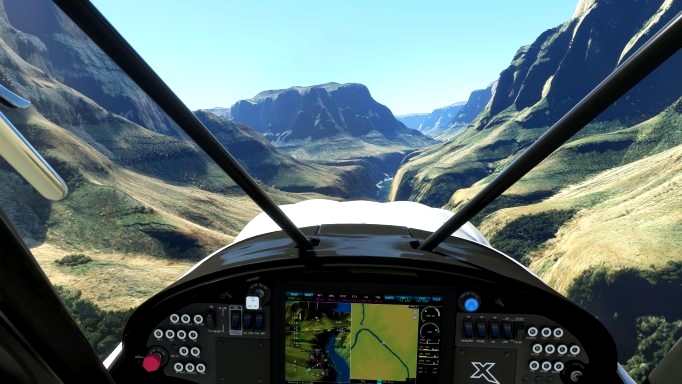
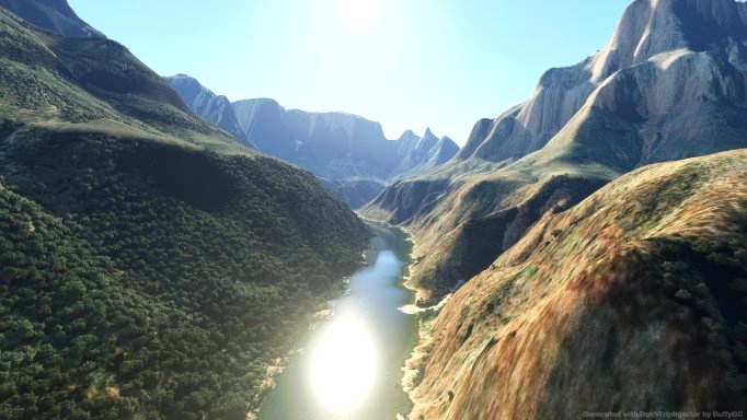
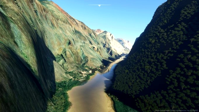
First the country is flat and the river dry. Gradually the river has water and the country gets somewhat more mountainous. Finally, you be flying in the canyons of the Rocky Mountains. If you fly 500 to 750 ft AGL, there is the sensation of flying between the rock formations, which close in the meandering river.
Happy flying and safe landings.
No. of Legs: 18 Total distance: 1118 nm
You can keep the GPS functions working if at the end of each leg you continue to the next leg and let the white path of the navigation map appear before quitting to the main menu.
There are two airports that might enhance your experience. They are nice to have, but not essential.
L50 Updated for FSE by RoscoHead
Grand Canyon National Park Airport by JustOkayPilot
The information is from Wiki, and the trip was created with the aid of Little Navmap and BushTripInjector.
Thanks to the creators of the airports, thanks to the Wiki content managers and special thanks to Alexander Barthel (LNM) and BuffyGC (BTI).

 Frontech


Hello Frontech,
the trip is really very nicely done. There are many good explanations to learn about the country. I would wish that you can set your own weather or fly with live weather. I like to fly such routes several times under different conditions.
2 years ago
Hello Koschi,
Thanks for your nice and stimulating comment. For future trips I certainly will consider the implementation of different settings so, the user has more choice.
2 years ago
Frontech
Koschi
This is beautiful! Keep up the great work!
2 years ago
Thanks for your comment.
2 years ago
Frontech
Rithvik
Great trip! Thank you very much.
2 years ago
Thank you for your comment.
2 years ago
Frontech
fStopper