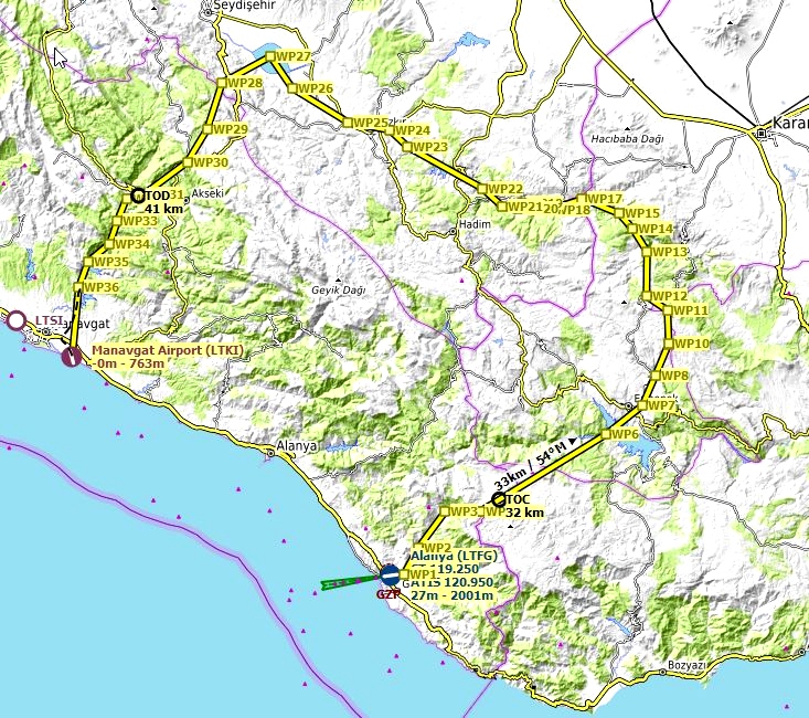

This bush trip is meant to be played without GPS. I would recommend using LittleNavMap with google maps satellite layer. - https://www.avsim.com/forums/topic/548994-new-maps-for-lnm/
Just set “show aircraft position” and “show aircraft trail” to off.
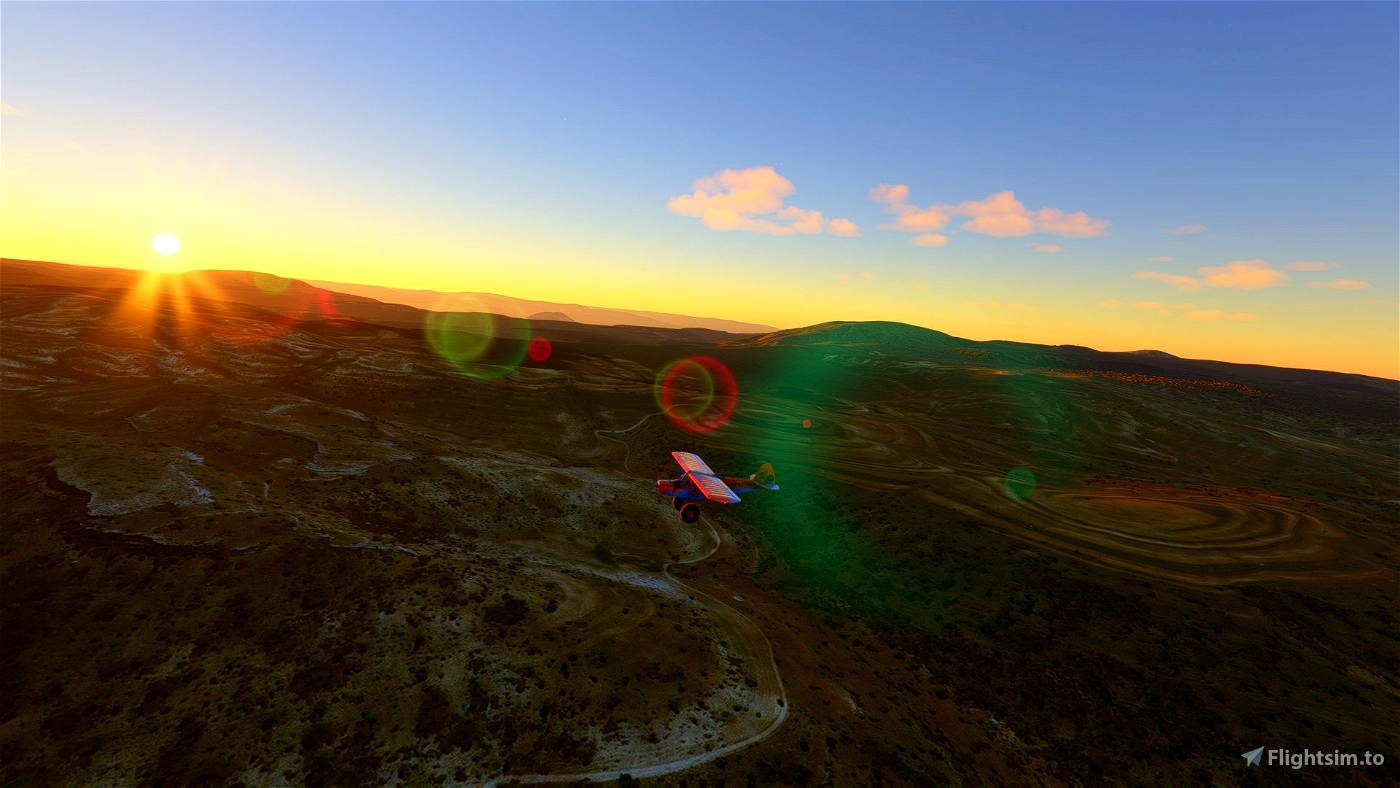
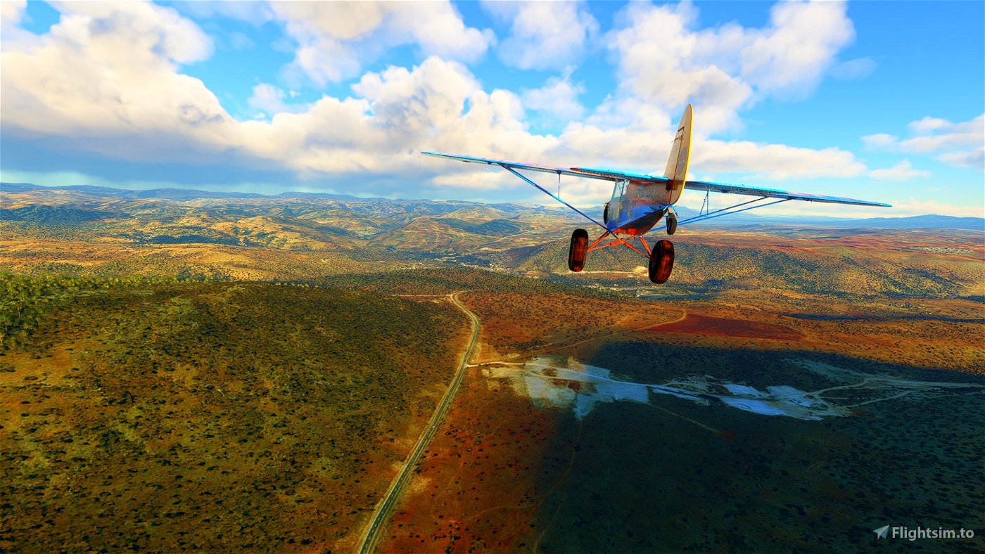
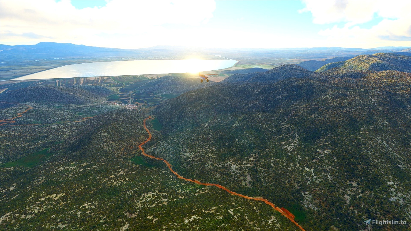
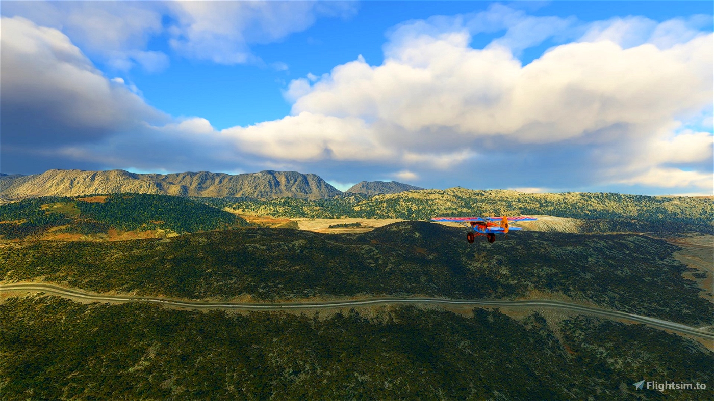
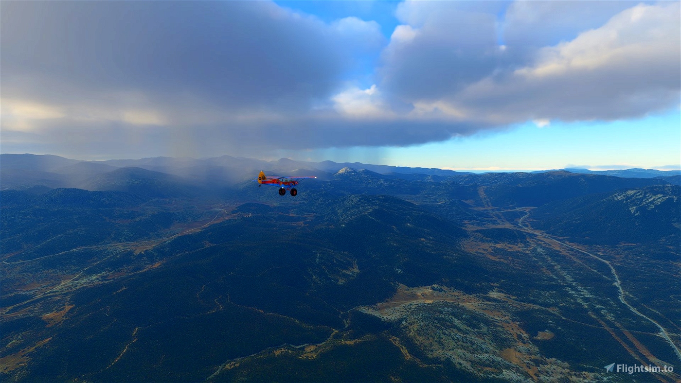
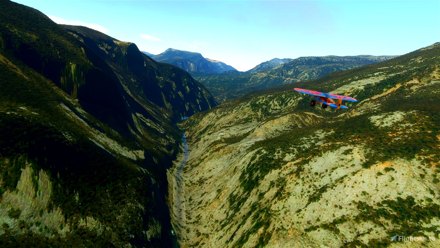
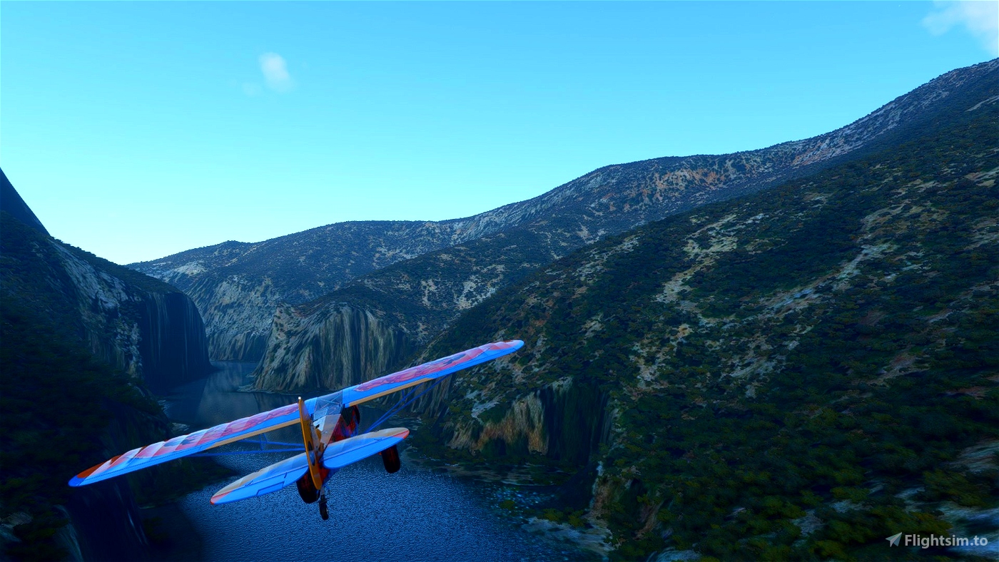
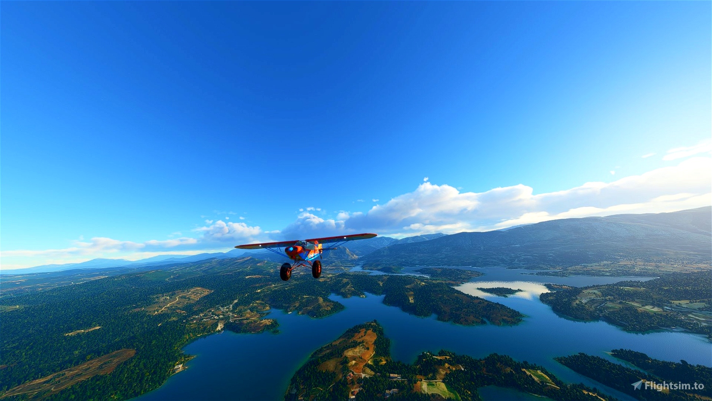
The terrain is very diverse and has so many features that it's really easy to get disoriented. Be prepared for backtracking and have some places to return to if you get lost.
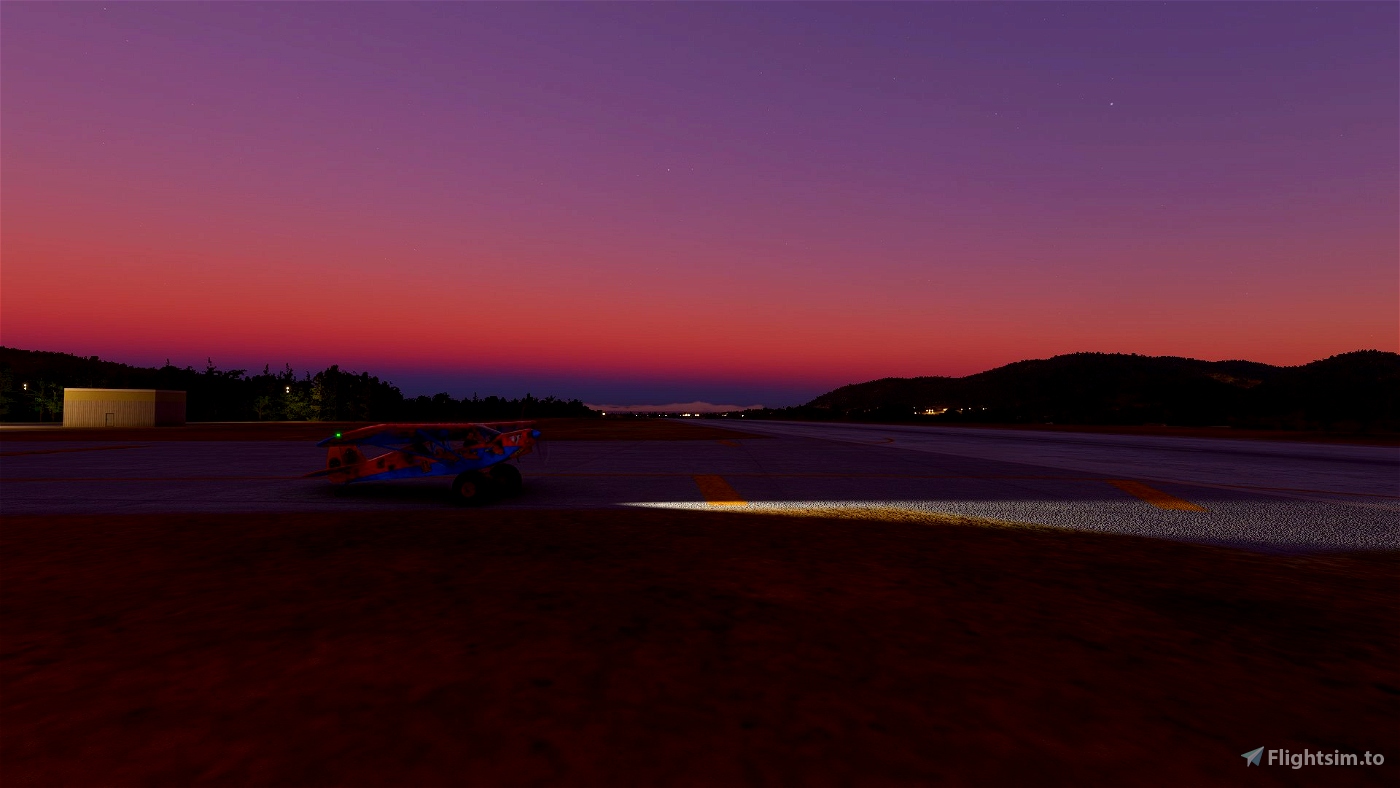
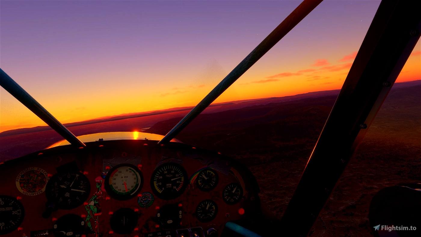
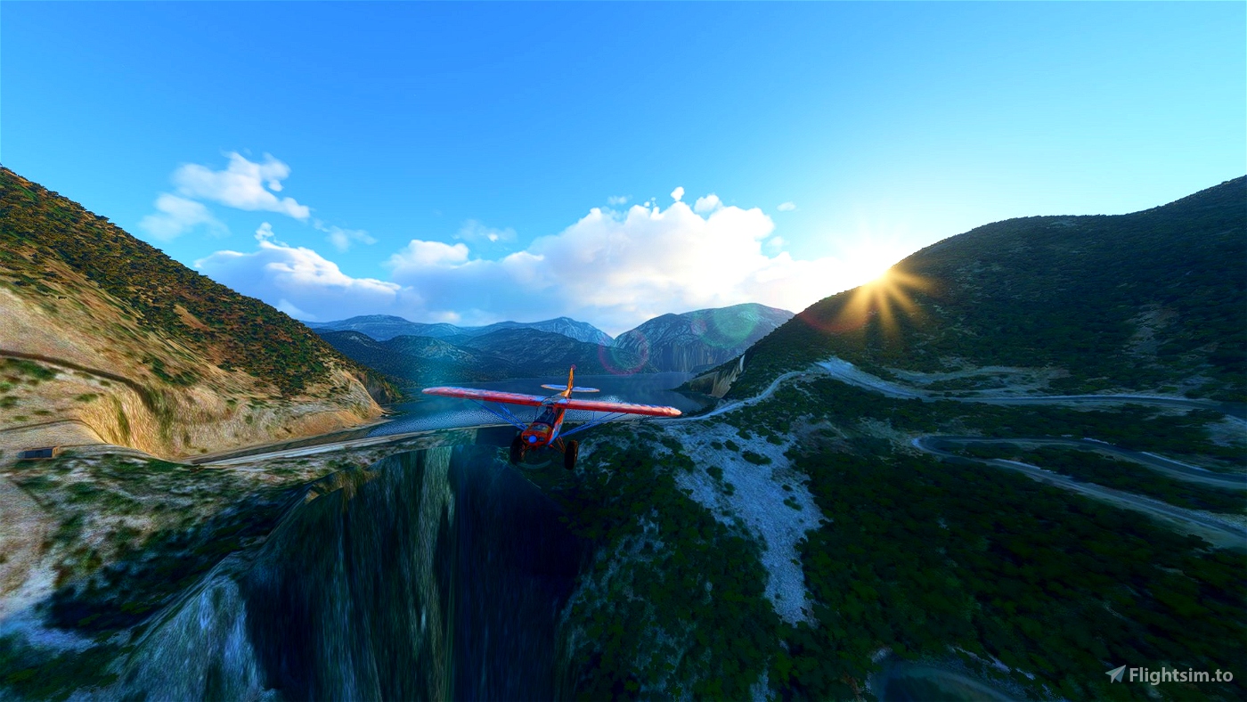
Start your journey at dawn barely seeing the stars in the sky.
No STOL challenges on this one because navigation is hard enough. Feel free to check my other flightplans for some serrious STOL action

 drStation

