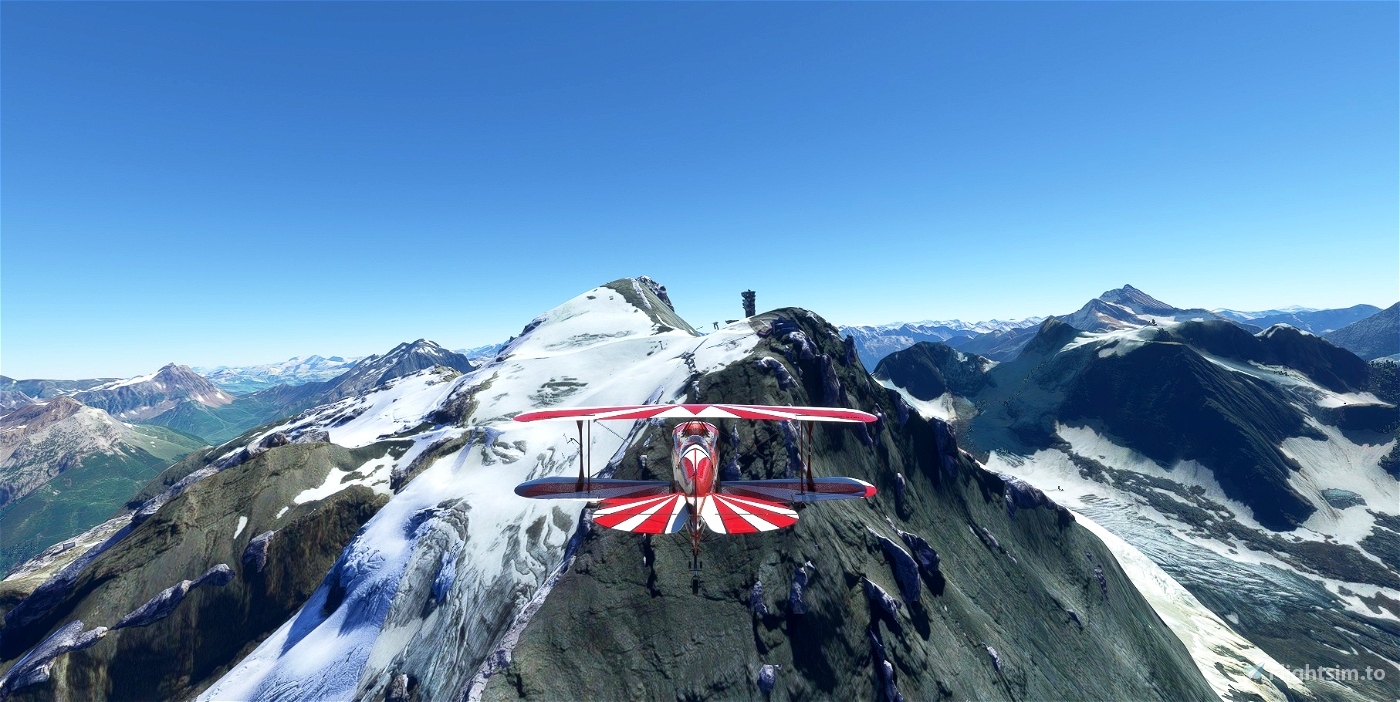
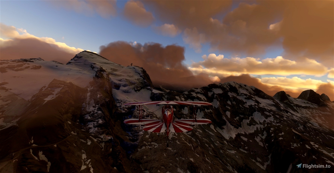
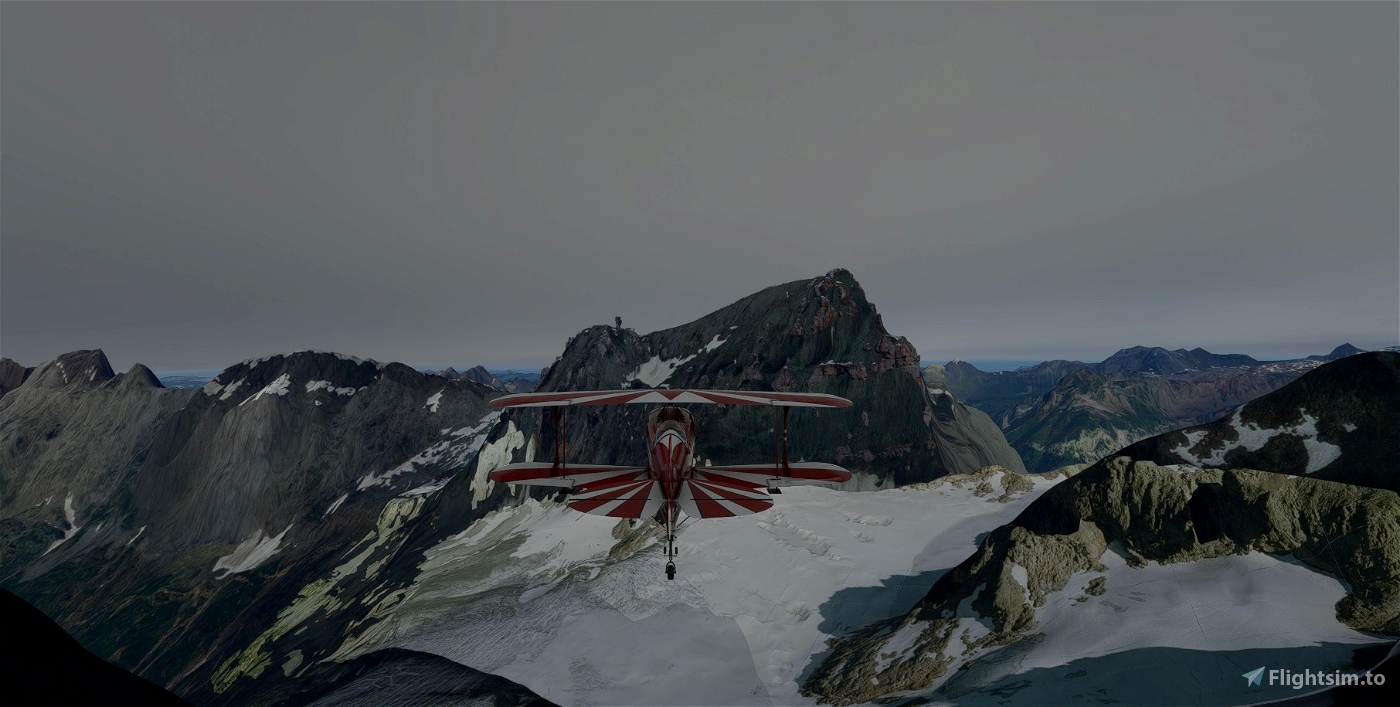
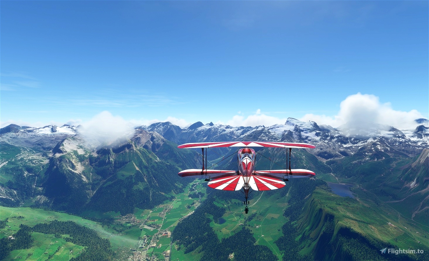
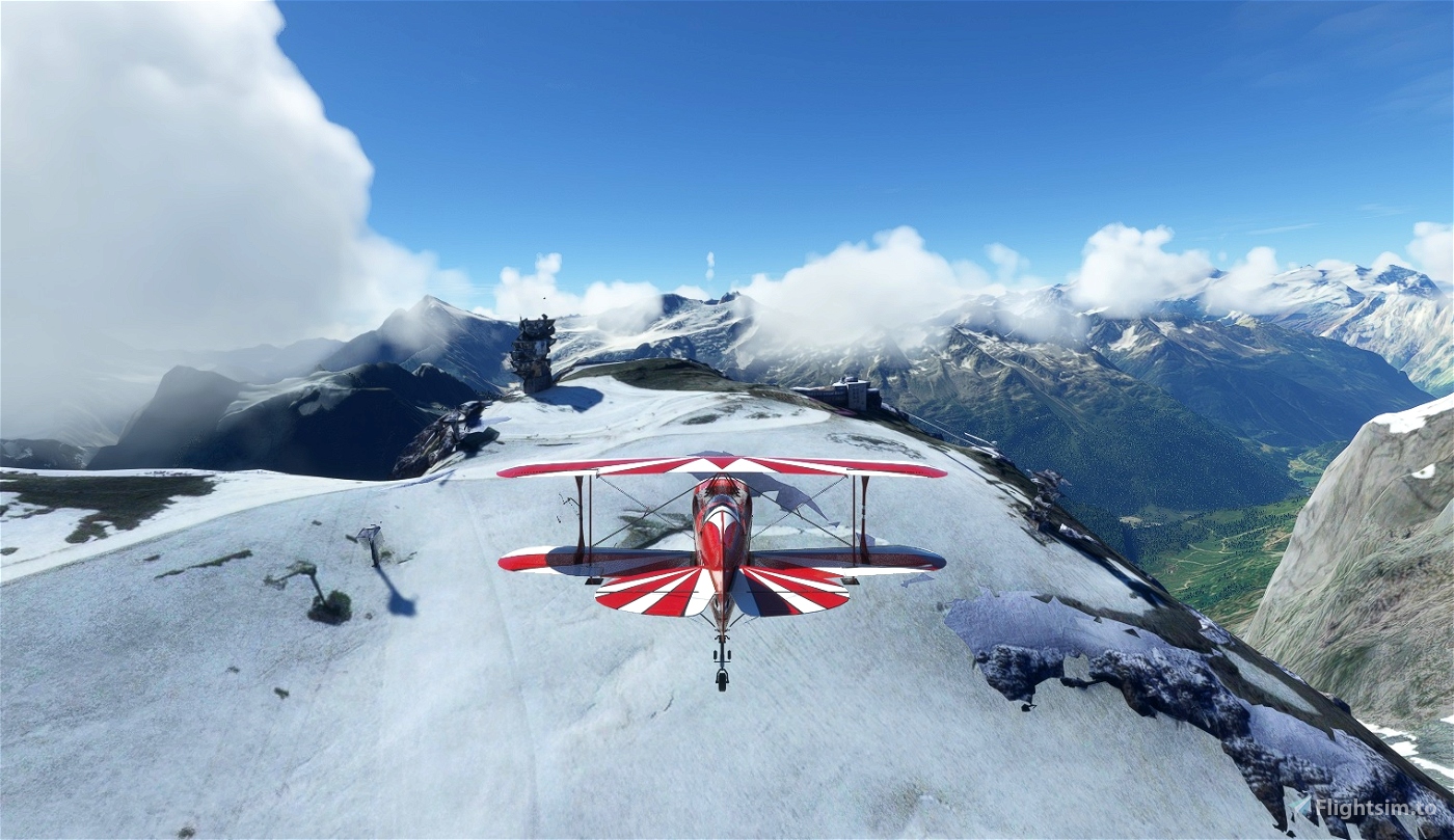
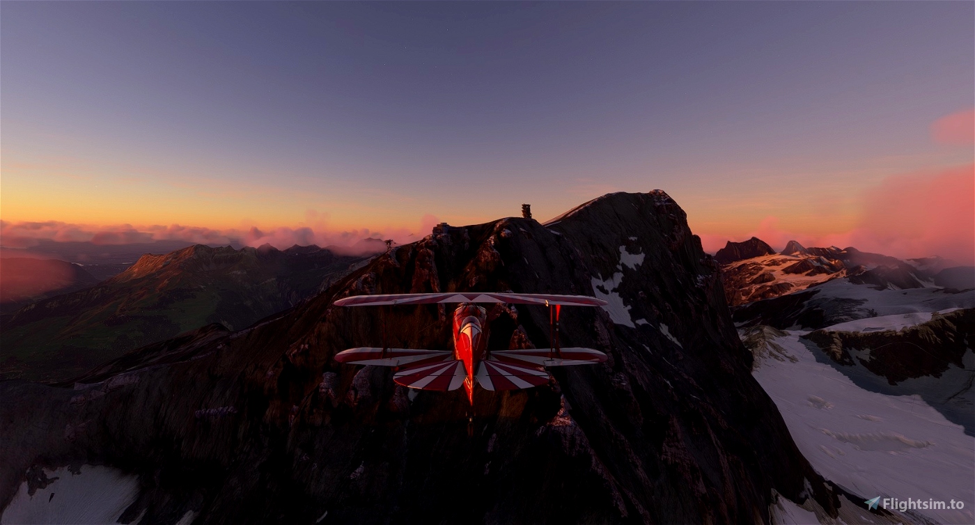
Titlis is a mountain of the Uri Alps, located on the border between the cantons of Obwalden and Bern. At 3238 metres above sea level. It is mainly accessed from Engelberg (OW) on the north side and is famous as the site of the world's first rotating cable car. The cable car system connects Engelberg (996 m) to the summit of Klein Titlis (3028 m) through the three stages of Gerschnialp (1262 m), Trübsee (1796 m) and Stand (2428 m).
The last part of cable car leads above the glacier. At Klein Titlis, it is possible to visit an illuminated glacier cave from an entrance within the cable-car station, which also includes shops and restaurants. The Titlis Cliff Walk, the highest elevation suspension bridge in Europe, opened in December 2012, giving views across the Alps.
Credits:
This scenery has been extracted from Google Maps, hence all 3D credits goes to Google.
This scenery has been generated with the Google Earth Decoder tool (credits to /u/Jonahex111):
https://www.reddit.com/r/FS2020Creation/comments/j3faaj/google_earth_decoder_now_userfriendly/
Installation:
Extract and move Titlis to the Community folder. Don't forget to restart the MSFS 2020 after that. Thats it!


Schon auf den Fotos sind nur Klötze zu sehen.
Die Allgemeine Bewertung hat mich zum herunterladen bewogen, wird aber wieder entfernt.
Ulrich57
2 months ago
Ulrich57
Beautiful, many thanks. Glad to see it works with the 20m Switzerland DEM also. There is a bit of a blending problem below the vertical face, might this be fixable? Any chance of doing the surrounding areas of Trübsee and Engelberg as well?
3 years ago
Thank you musician262. It is my first scenery and I still need some practice with handling the polygons. It is easier to work with a smaller amount of data, but I'm happy to have your comments.
3 years ago
Hampi
musician262