Mission 13: Duffy’s Tavern Airport (DDT) to Northway (PAOR)
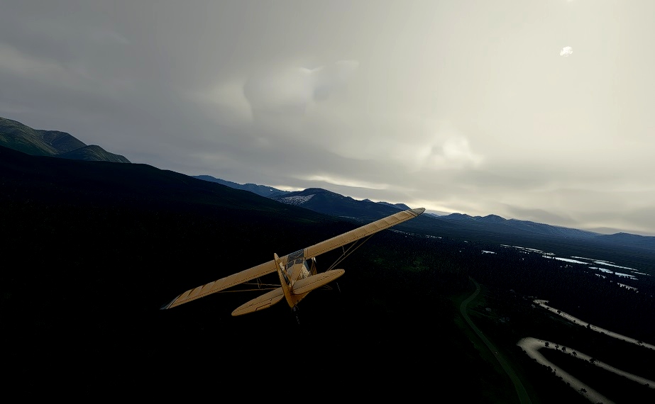
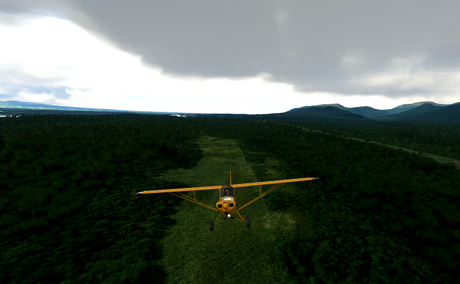
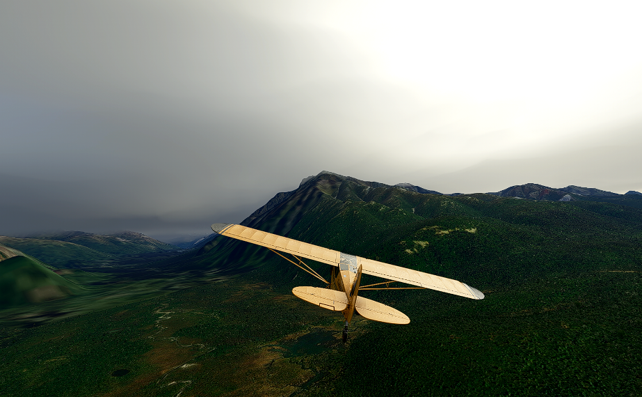
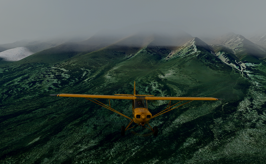
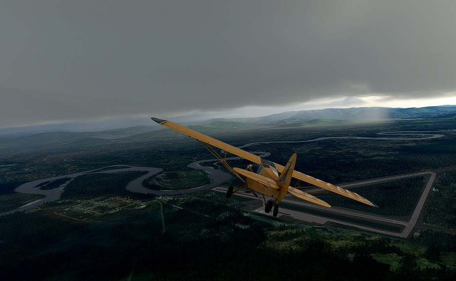
This is the thirteenth leg of a 16 leg exploration trip into “rugged” Alaska. In this trip we are departing Duffy’s Tavern Airport (DDT). .and weaving our way north east to Northway (PAOR).
The Route/Itinerary:
Short List: DDT*-TSG”-PAOR* (*Requires add-on scenery)
Departure: Duffy's Tavern Airport (DDT)*
Stop at Tanacross (TSG)*
Destination: Northway (PAOR)*
Total Distance: 90 nm
* Add-on Scenery Requirements: (Airports omitted from default MSFS)
1. 12 Airports for Southern Alaska v1.0* (by DADGAMETIME) (DDT) (*scenery is included in DL package).
2. Northway (PAOR)* (by DADGAMETIME) (*scenery is included in DL package).
3. Tanacross (TSG) (by Pontiac51) - LINK: https://flightsim.to/file/8922/tsg-tanacross
4. Alaska water height fix-Anchorage and Southern National Parks (by Baddweapon)
LINK: https://flightsim.to/file/1023/alaska-water-height-fix-anchorage-and-southern-national-parks
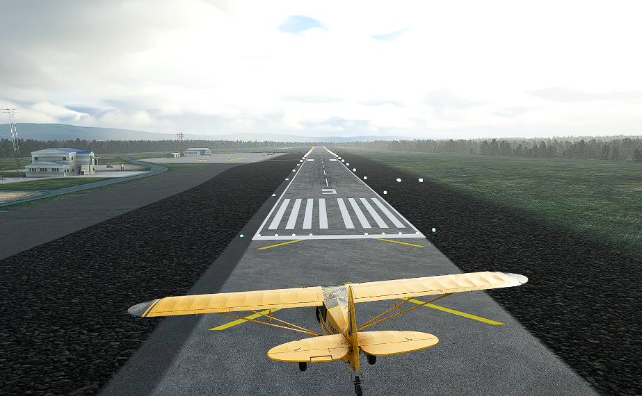
Aircraft: Asobo Savage Cub
-----------------------------------------------------------------------------------------------------------------------------
Mission Installation:
Extract the zip file and move/place the extracted mission folder into the community folder. Start/restart the sim and this mission will be found via the Home Page > Activities > Bush
Trips > DUFFYS TO NORTHWAY
Alaska (Savage Cub)
Add the scenery to be able to see the airfields.
To uninstall to mission or add-on scenery simply remove from your community folder.
Detailed flight itinerary document included in the file download.
-----------------------------------------------------------------------------------------------------------------------------
NOTE: For those of you who don't prefer running MSFS "missions" per say, I have included the flight plan (both LNM and MSFS version) on which this bush trip is based. Additionally for the more advanced flyer who might want to try to manually navigate this trip, I have also included a sky vector static map link of the route. Try your hand at dead reckoning methods and marking land marks to ascertain your position. (But make sure you grab your watch or E6B just in case as it is easy to get lost in these parts.
-----------------------------------------------------------------------------------------------------------------------------
Credits:
Again a sincere thanks to BuffyGC for the BushTripInjector toolkit! - https://flightsim.to/file/4131/bushtripinjector
and to scenery designers: DADGAMETIME, Pontiac51 and Baddweapon for their scenery work that makes this excursion possible in MSFS.
Hope all enjoy this MSFS expedition exploring some of the more rugged sites in Alaska. See you in the MSFS air!.
Full 16 leg excursion at Misty Flying Club (VA) LINK: http://www.mistymooringsflyingclub.com
Norm Richards (MSFS = NBRICH1)
Misty Flying Club: http://www.mistymooringsflyingclub.com/

 nbrich1

