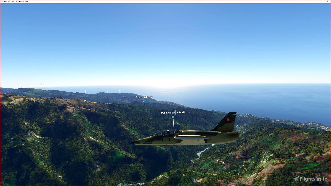
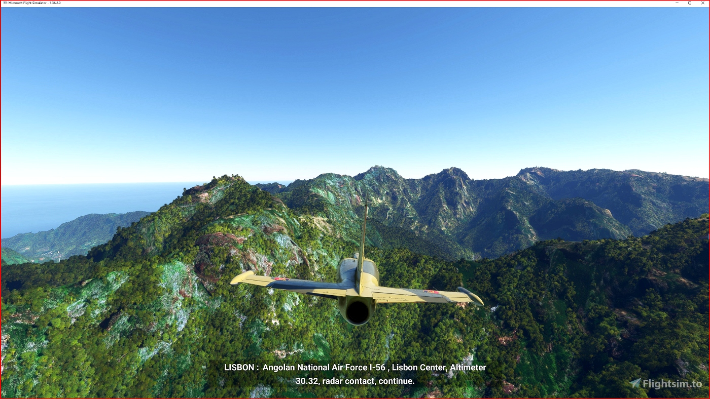
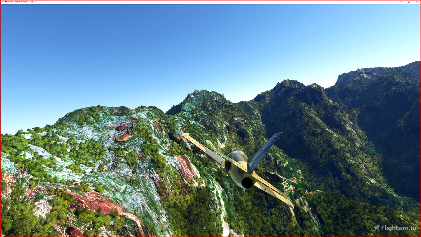
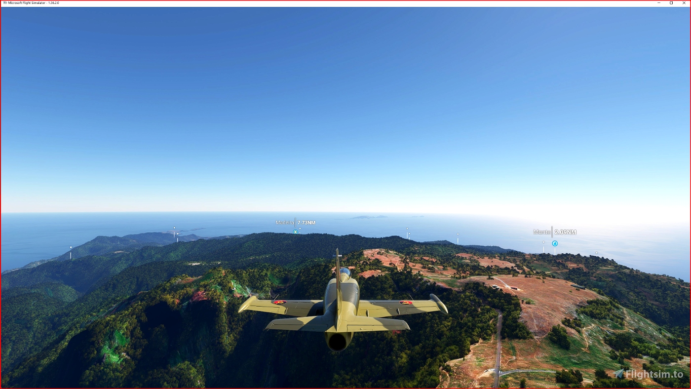
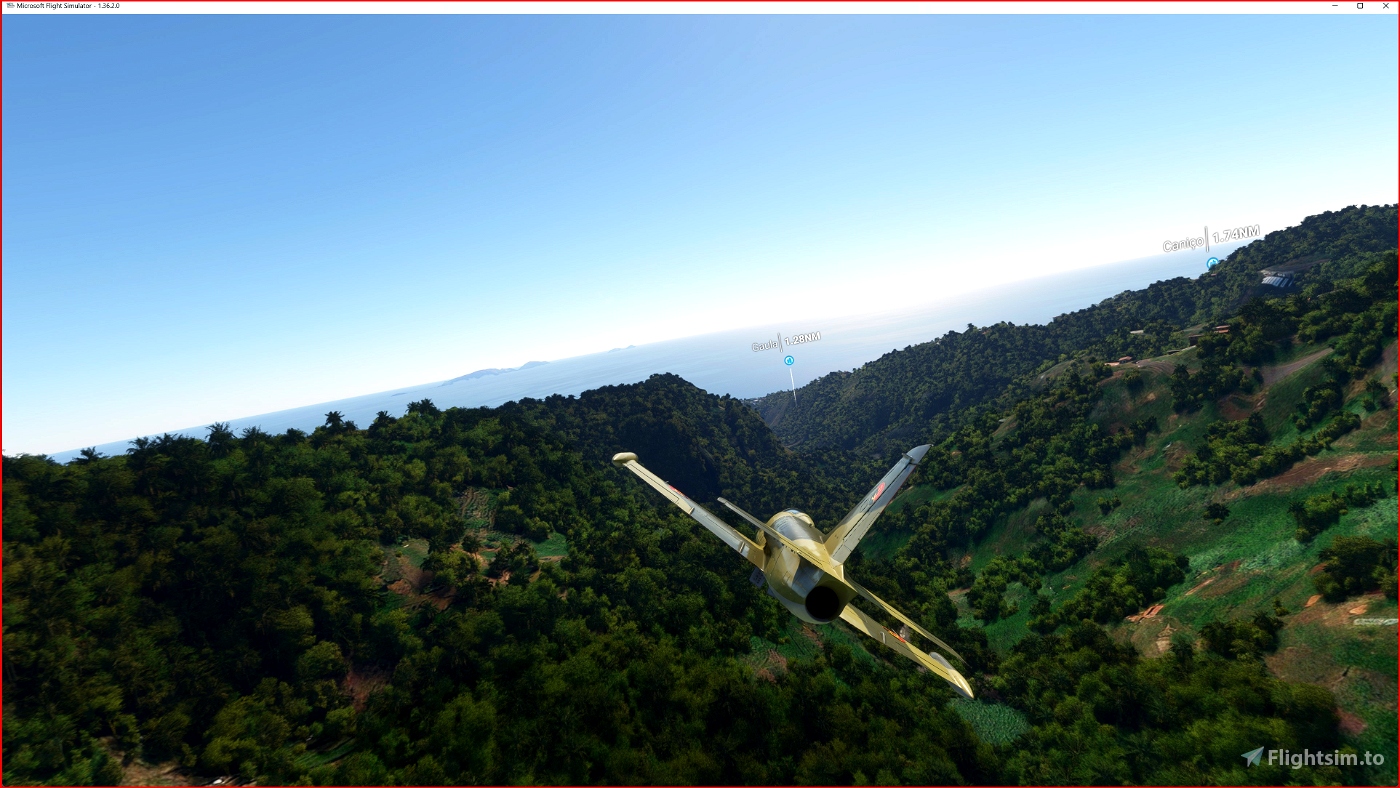
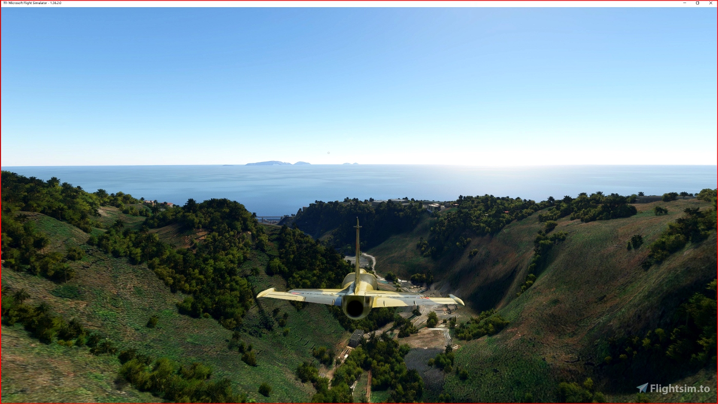
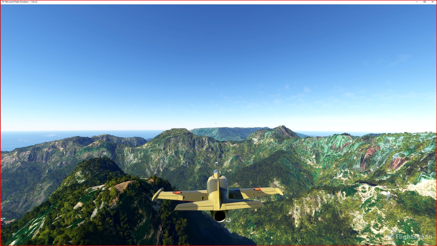

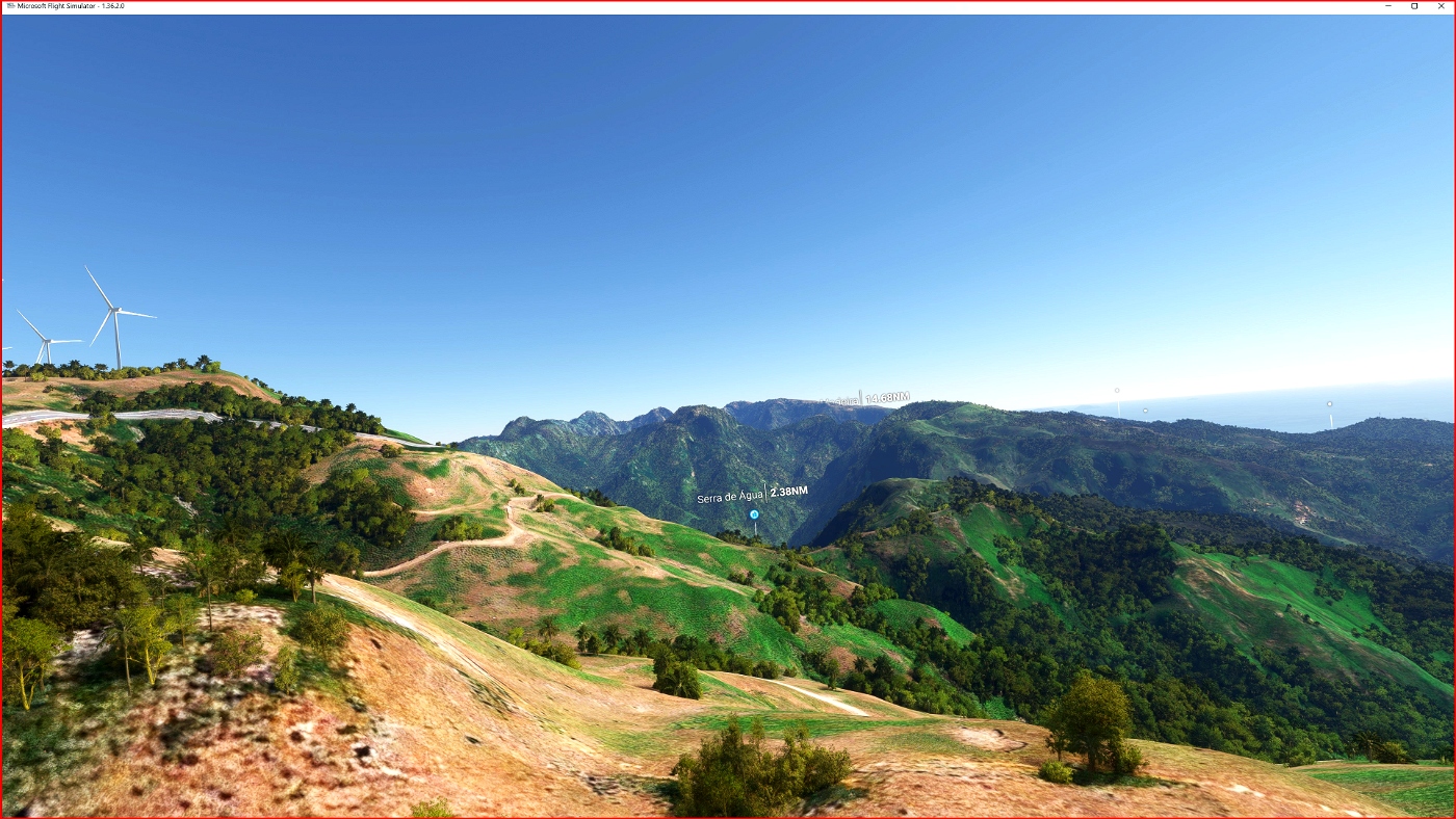
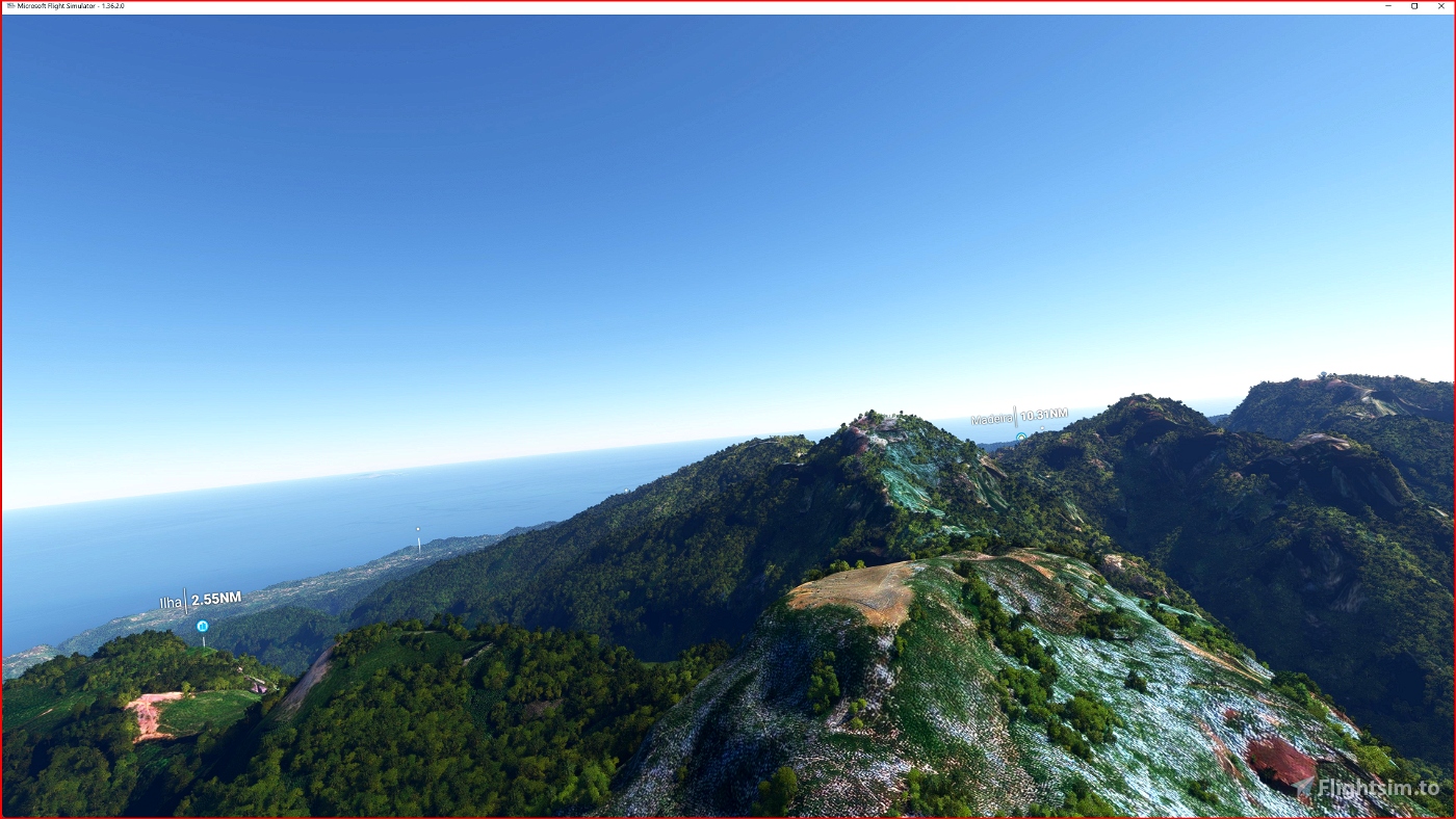


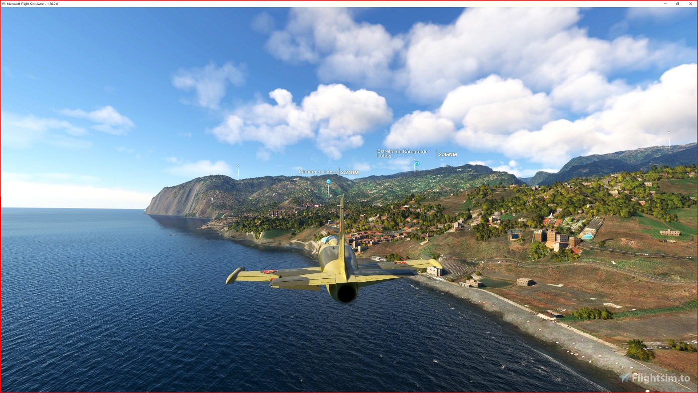
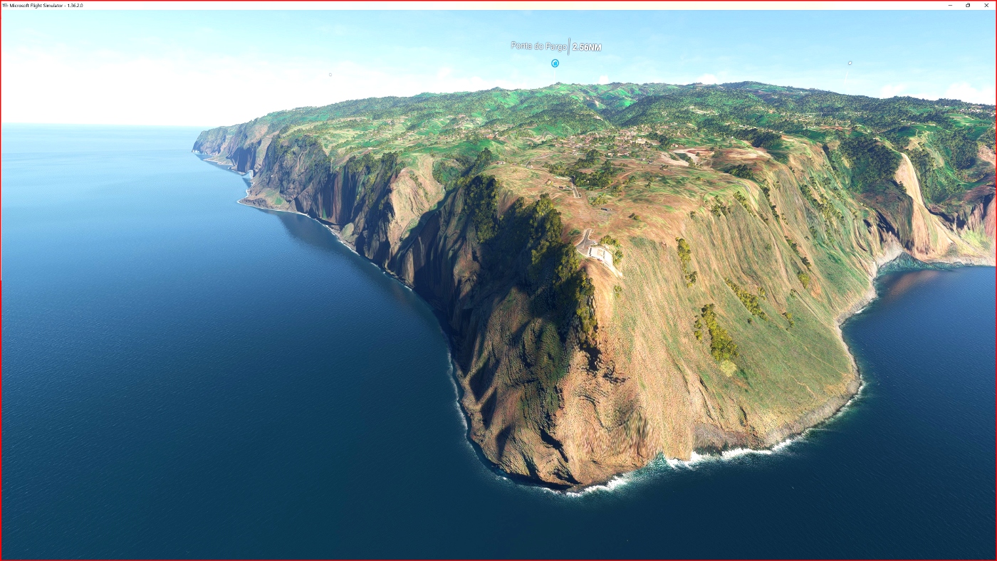
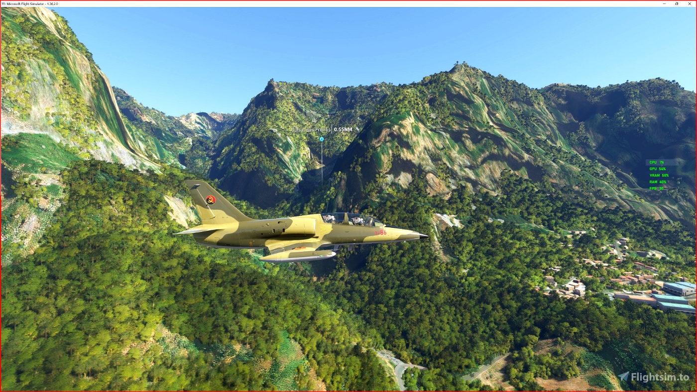
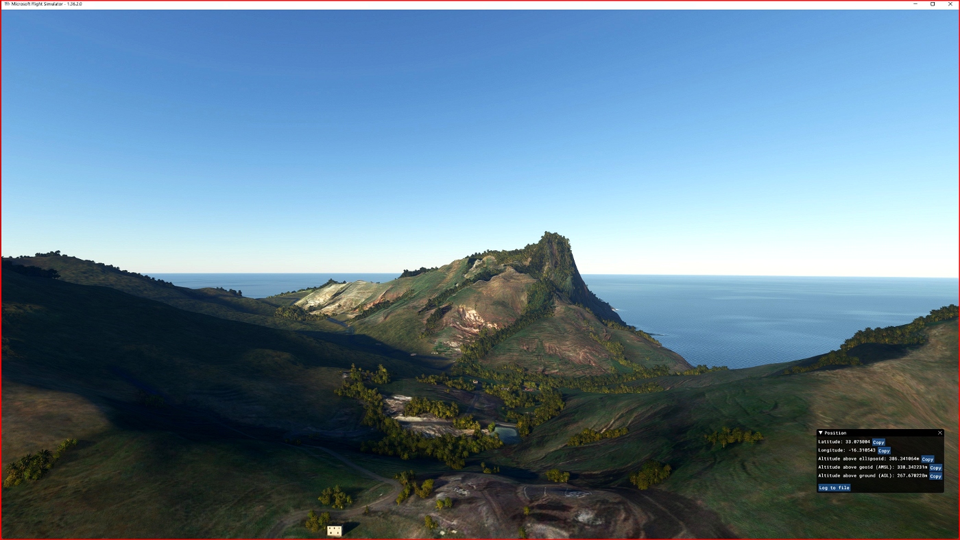
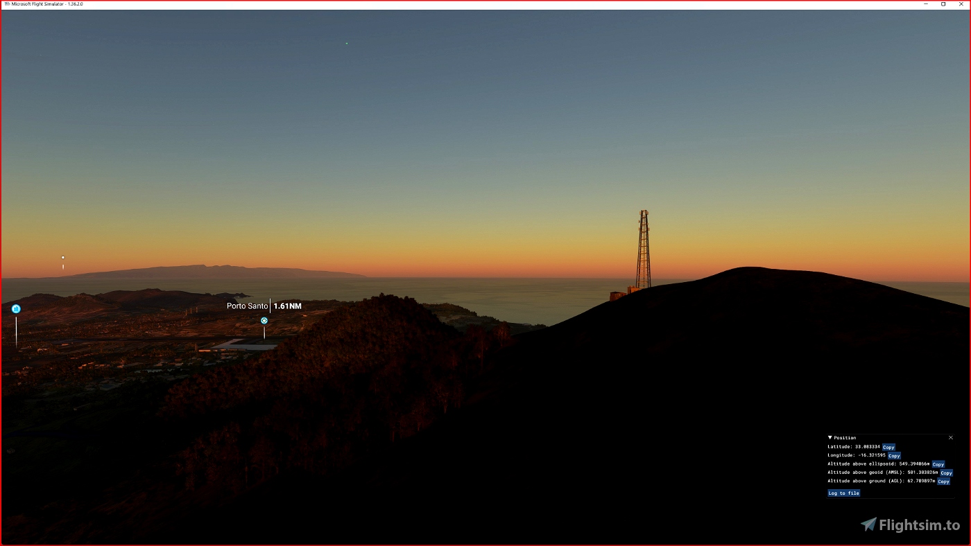
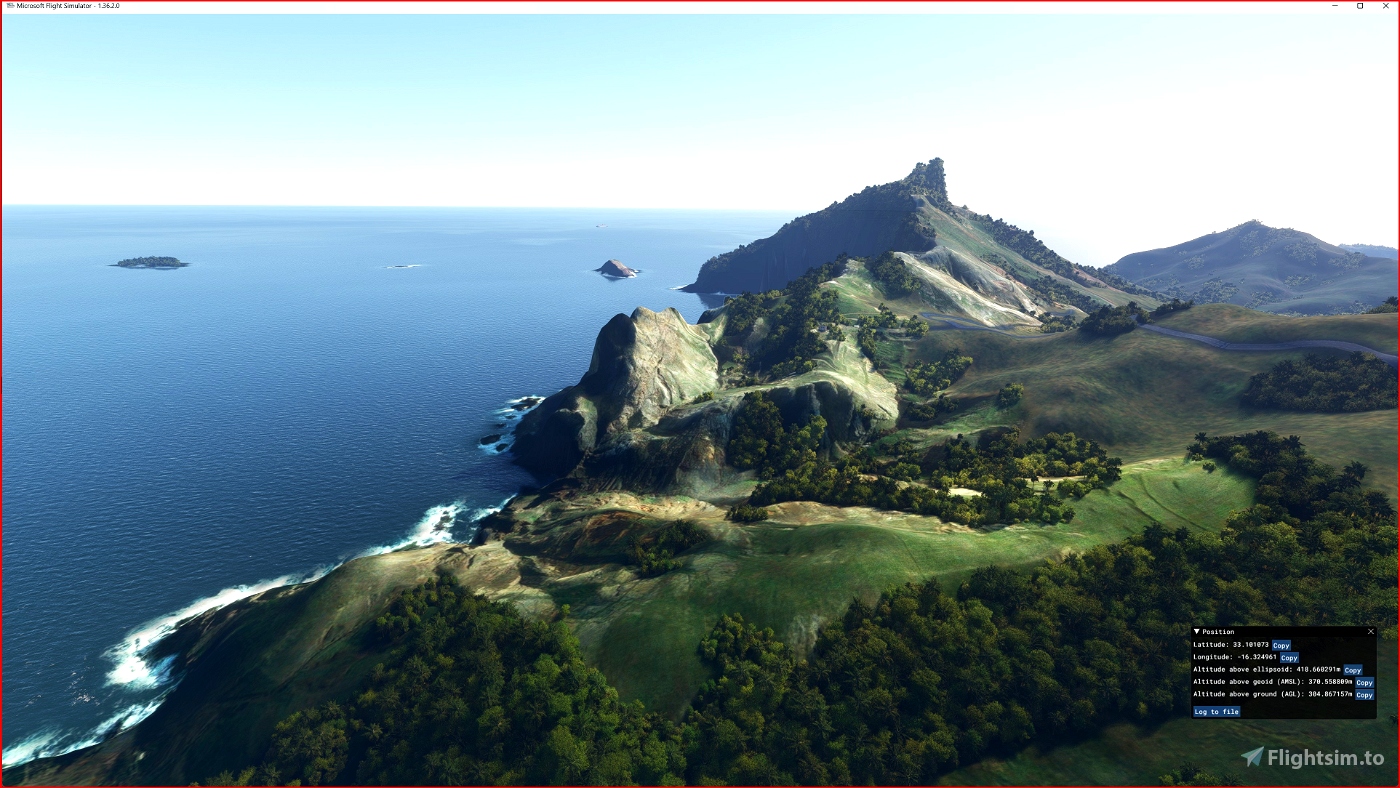
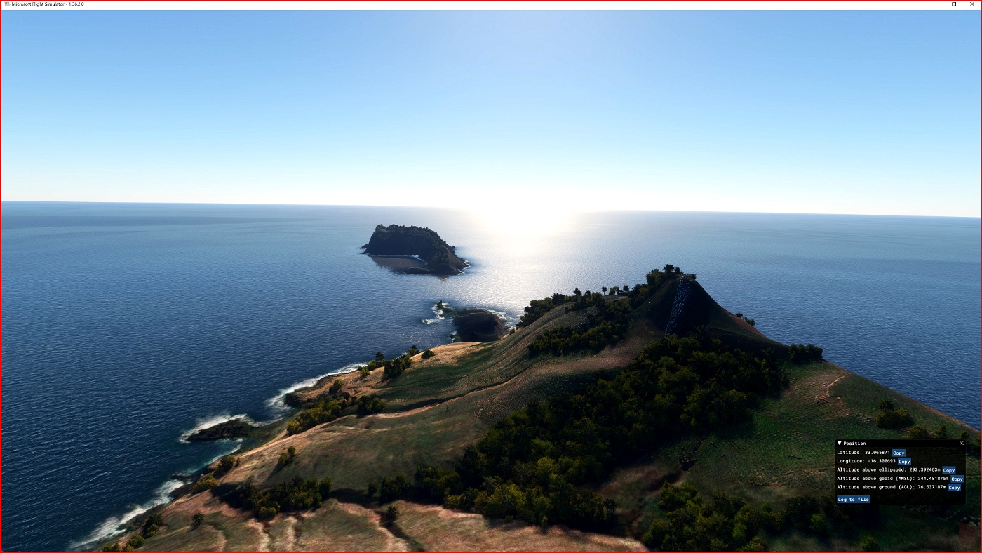

DEM / ETM10 - Enhanced Terrain Mesh 10m for Madeira and Porto Santo Islands
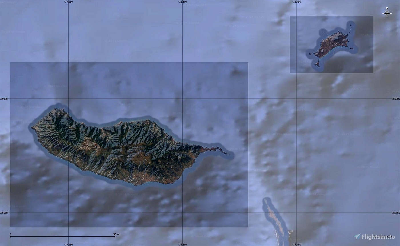
This is an Enhanced Terrain Mesh derived from Sentinel-1A mission of the European Radar Observatory for the Copernicus joint initiative of the European Commission (EC) and the European Space Agency (ESA), 10 meters (1/3 arc sec). Mainly the area covered by this terrain mesh is related to the region of ... see coverage map.
Affected Sceneries
Any large Payware and Freeware Airport I could think of, has been excluded from the mesh. So hopefully the glitches will be minimal.
Please report any bugs with sceneries or airports and I will see what I can do!
Created using MSFS Toolkit by Nool Aerosystems (MSFS Toolkit).
On Discord: ItalianCharter Team // Gjanosh61#9850
Please don’t feel as though you have to, but if you wanted to buy us and the team a coffee to support the work. Thank you very much.
Buy Gjanosh61 a coffee

 Gjanosh61


I would like an update, thanks!
Best regards Esa Sairio, Finland
18 days ago
17 days ago
Gjanosh61
Esa
2 months ago
2 months ago
Gjanosh61
SunriserPT
3 months ago
3 months ago
Gjanosh61
cteixeira
3 months ago
3 months ago
Gjanosh61
TheAfricanFlyer